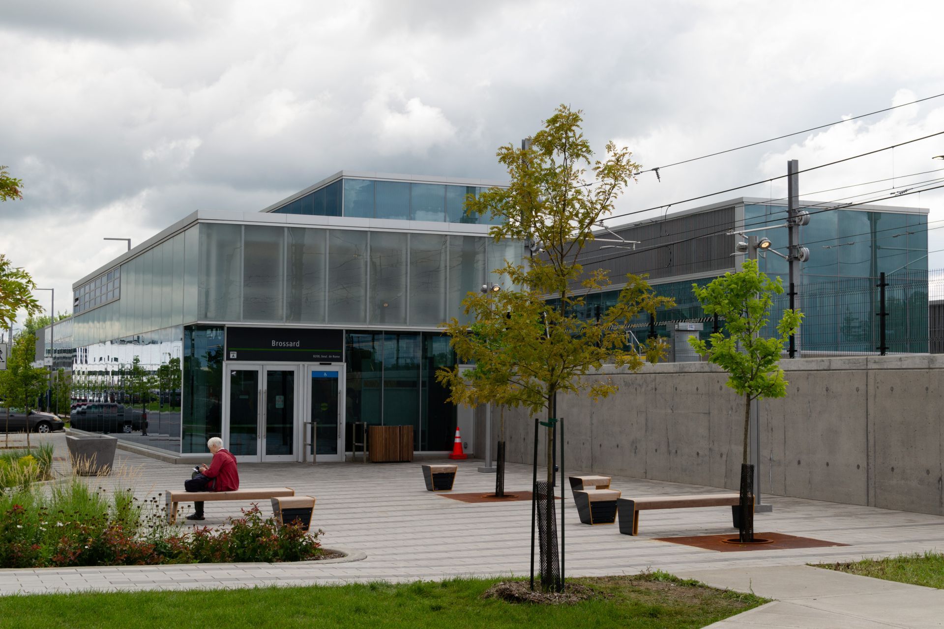
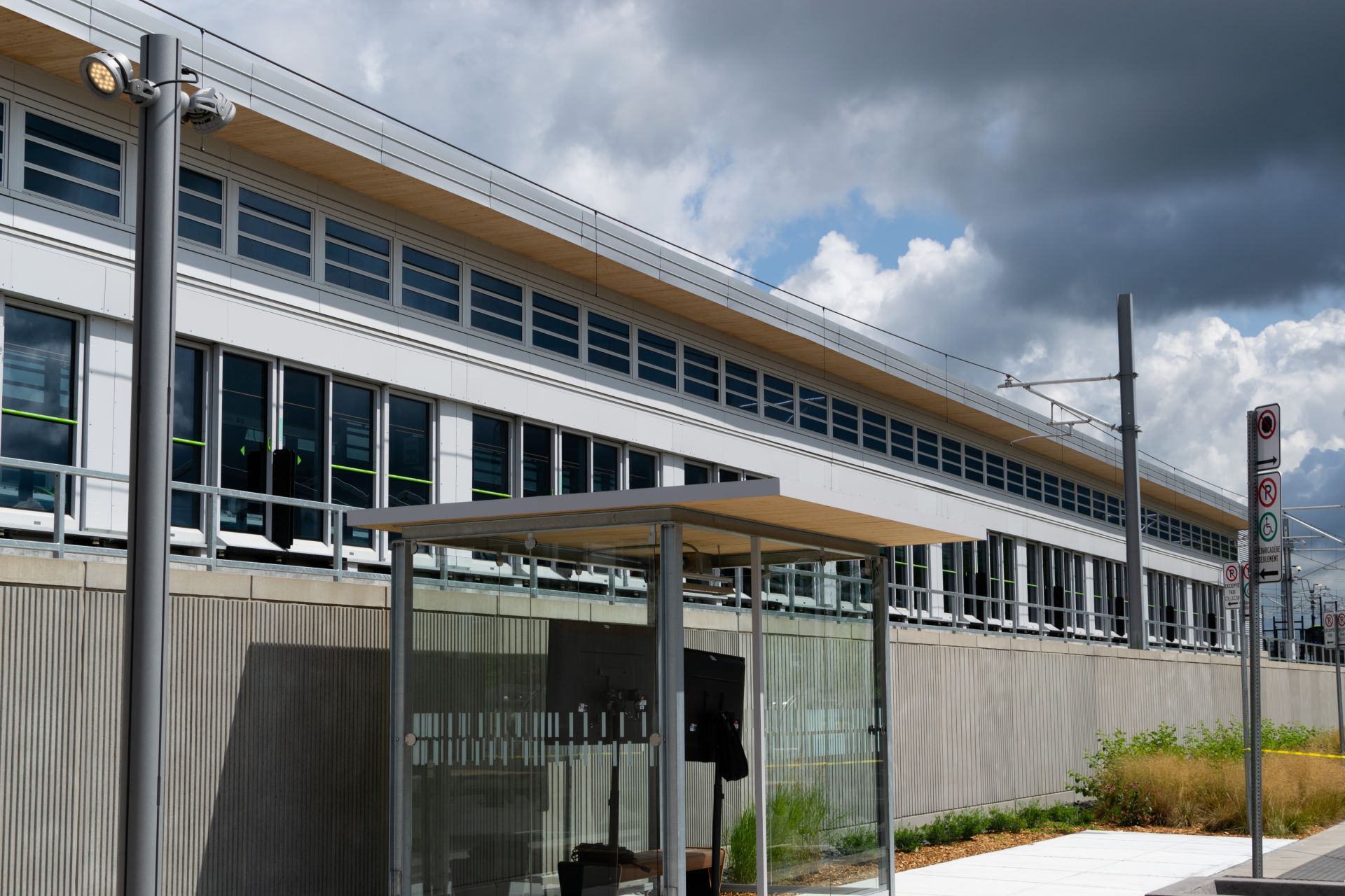
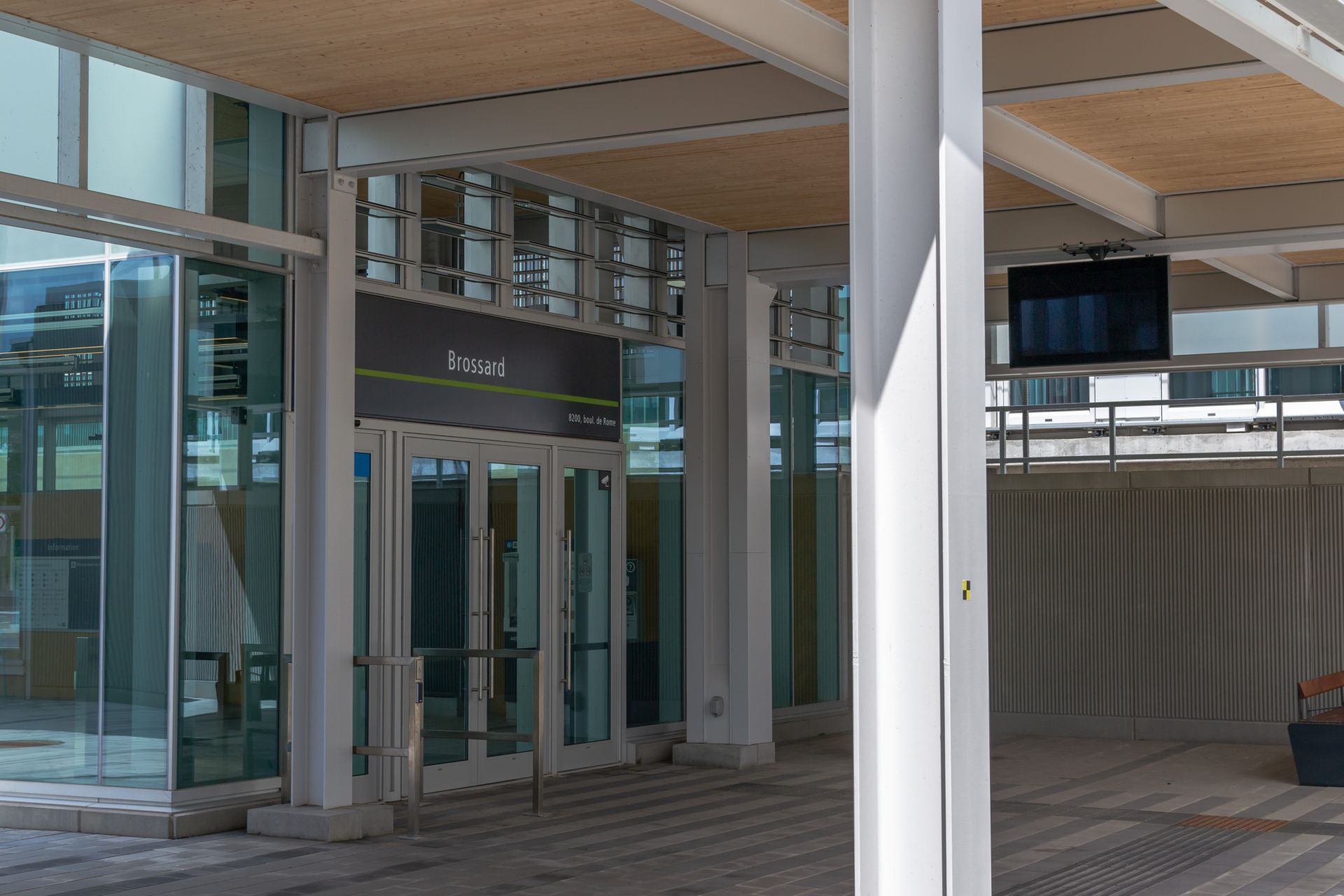
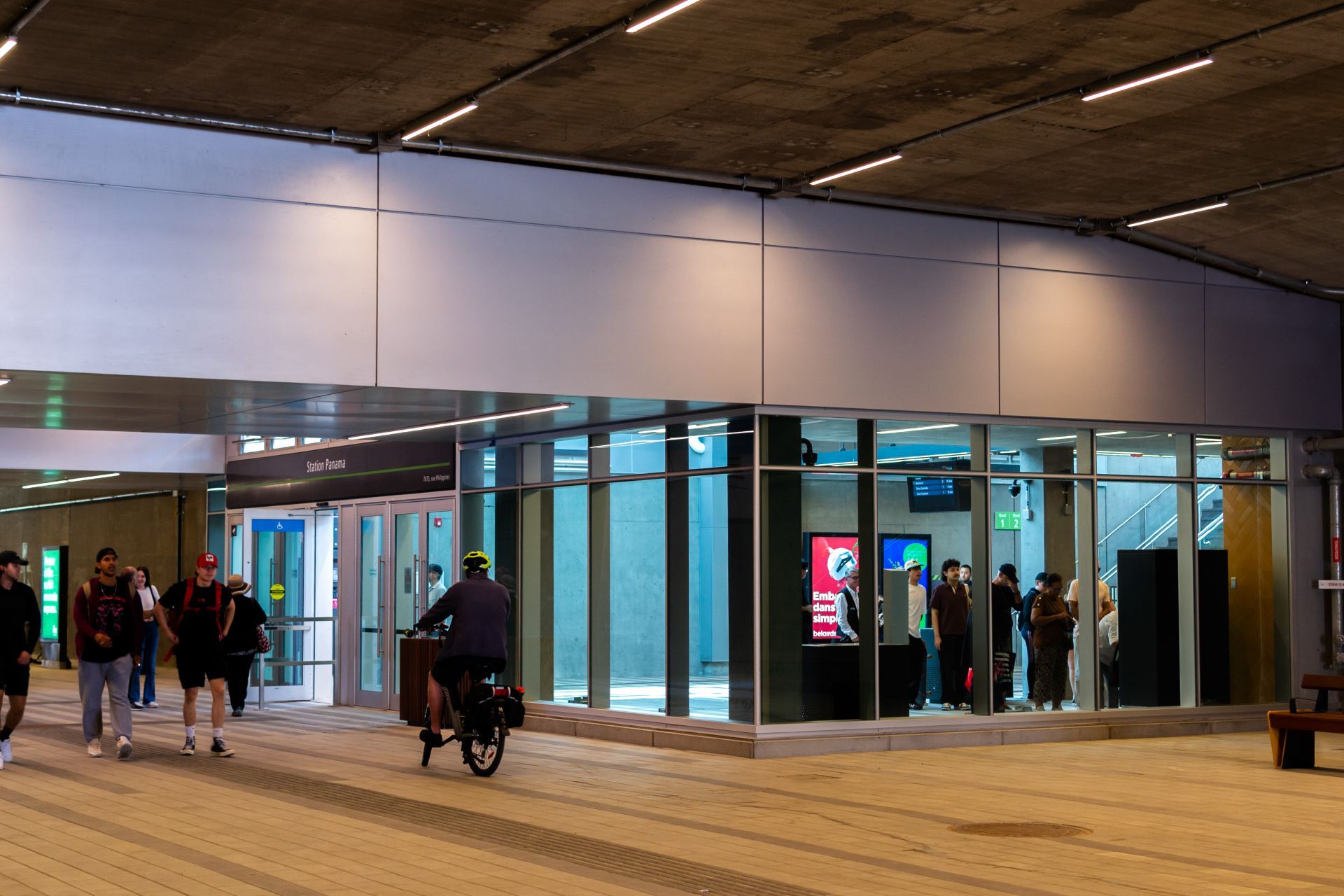
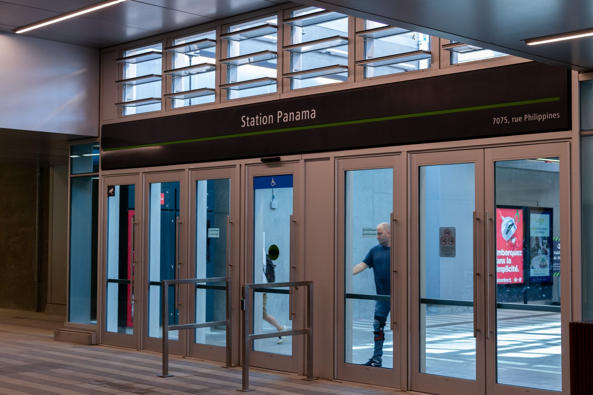
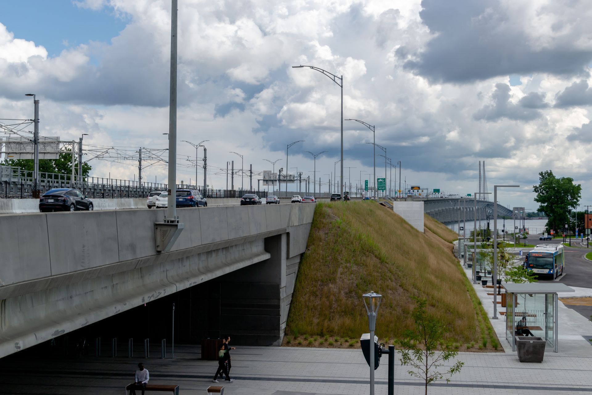
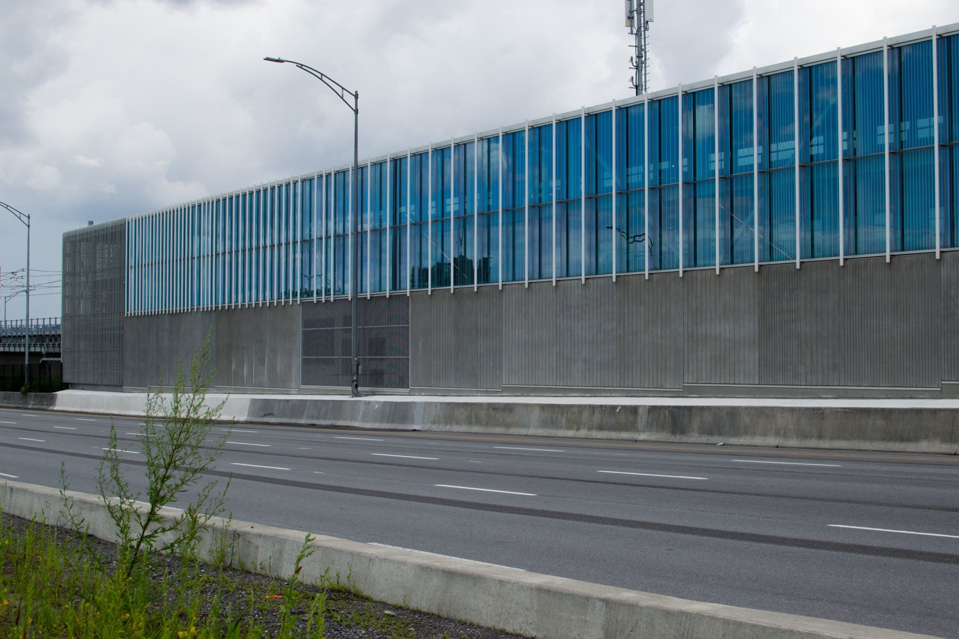
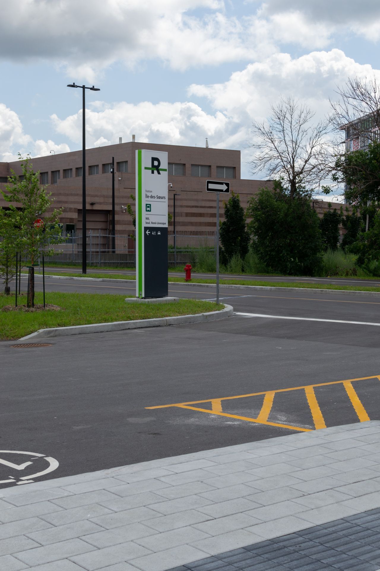
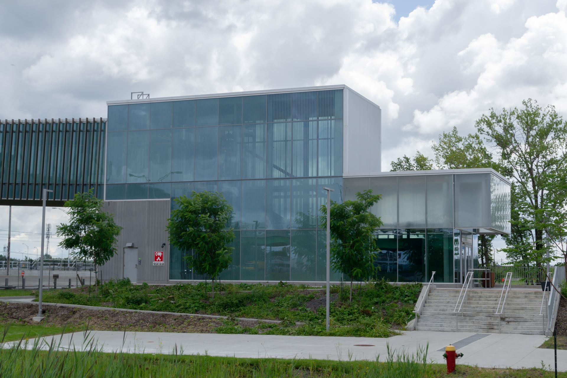
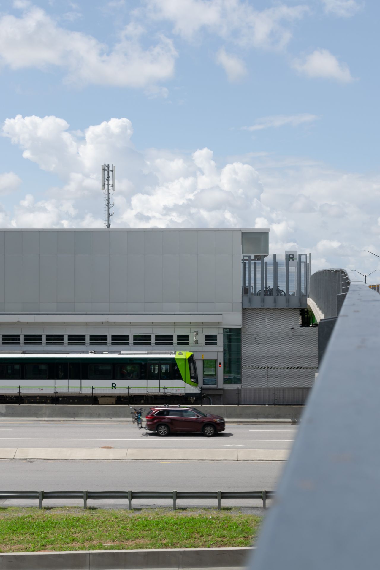
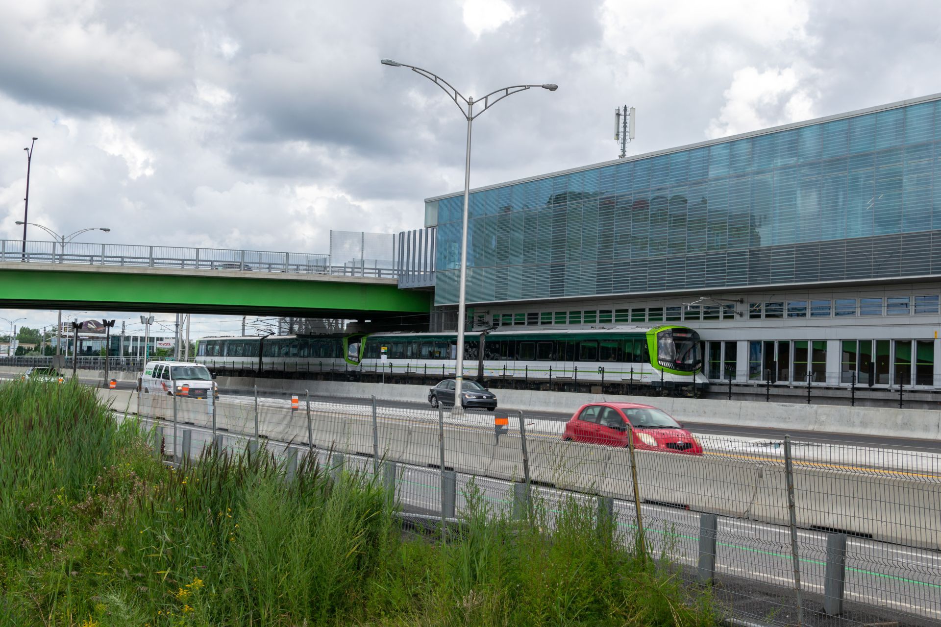
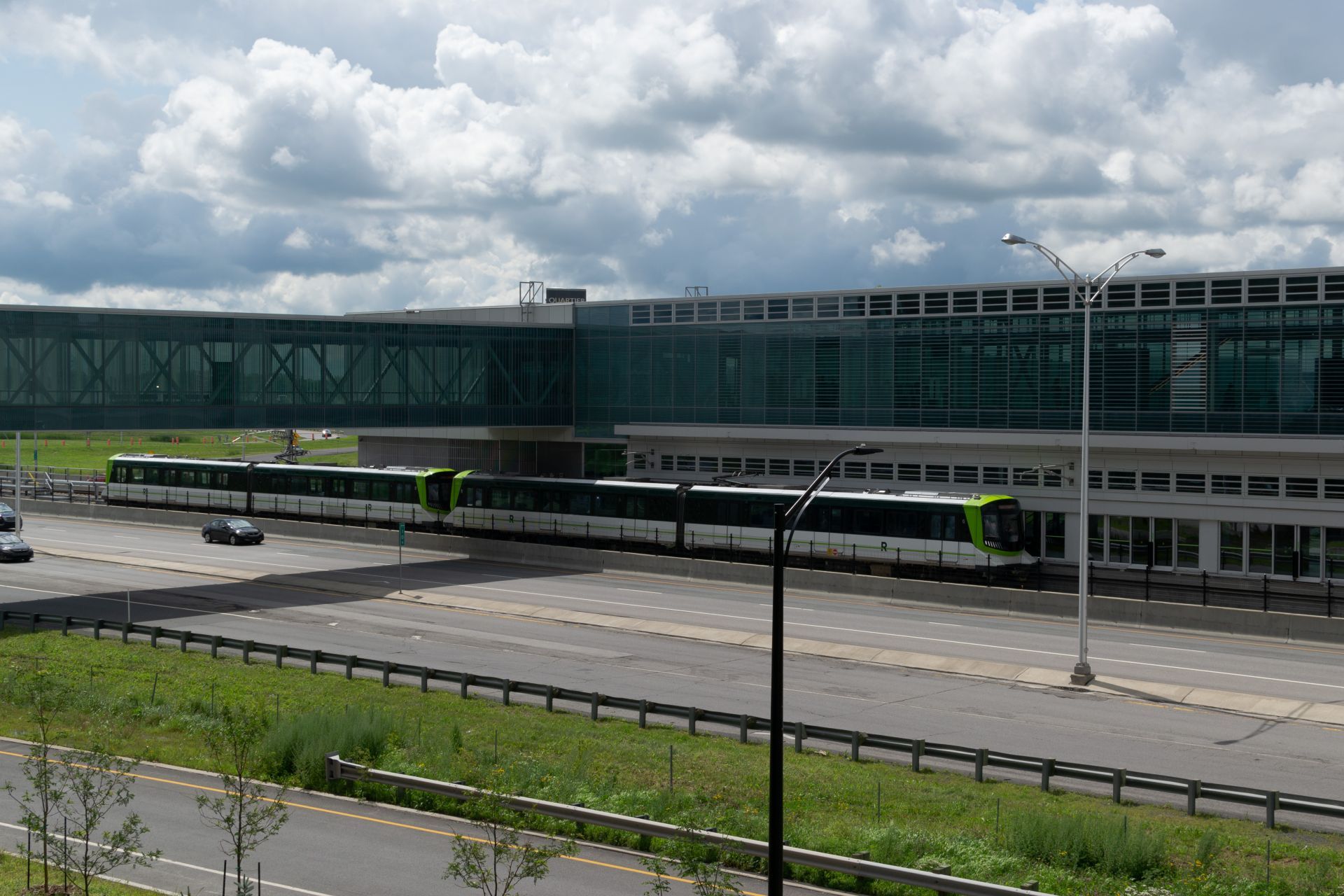
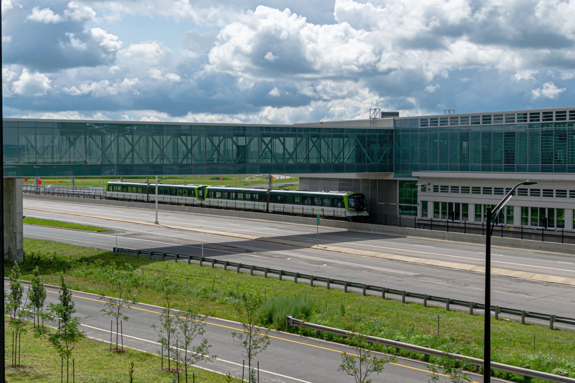
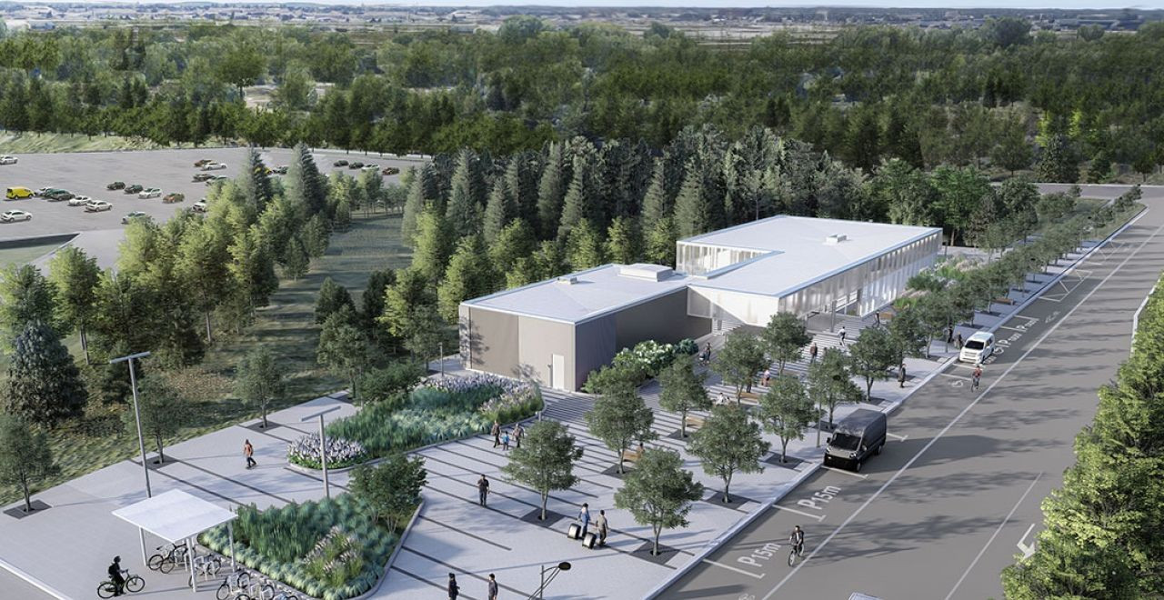
Brossard Station is the southern terminus of the Reseau Express Metropolitian, and as such is one of the most important connection point for passengers traveling further than Brossard. Initially planned as "Rive-Sud" (it was renamed to Brossard on June 22, 2020), the station is located south of Autoroute 10 and 30 and and was built as a new facility for its current purpose.
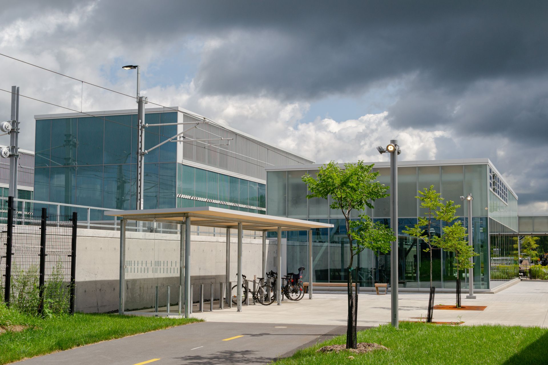
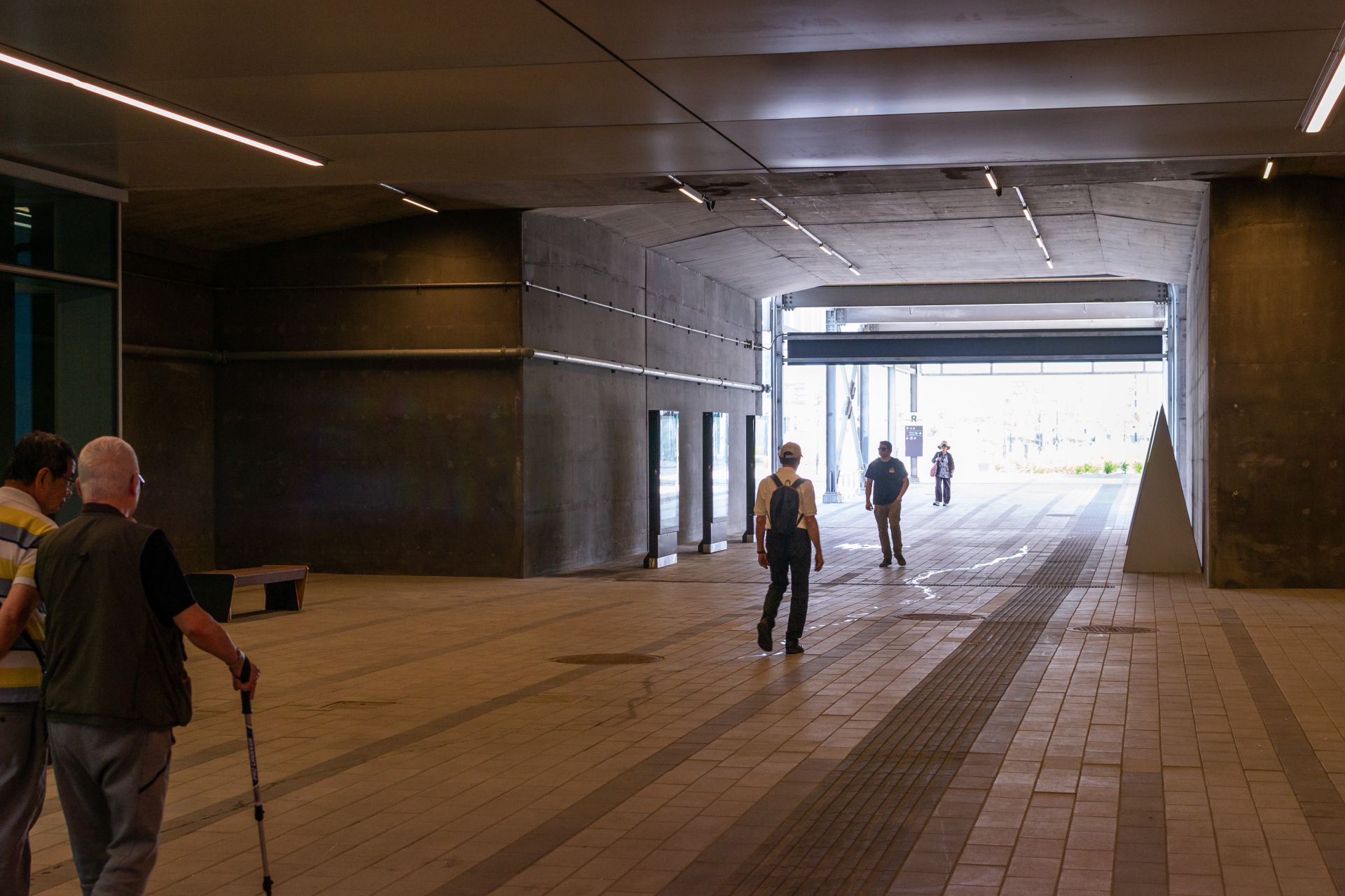
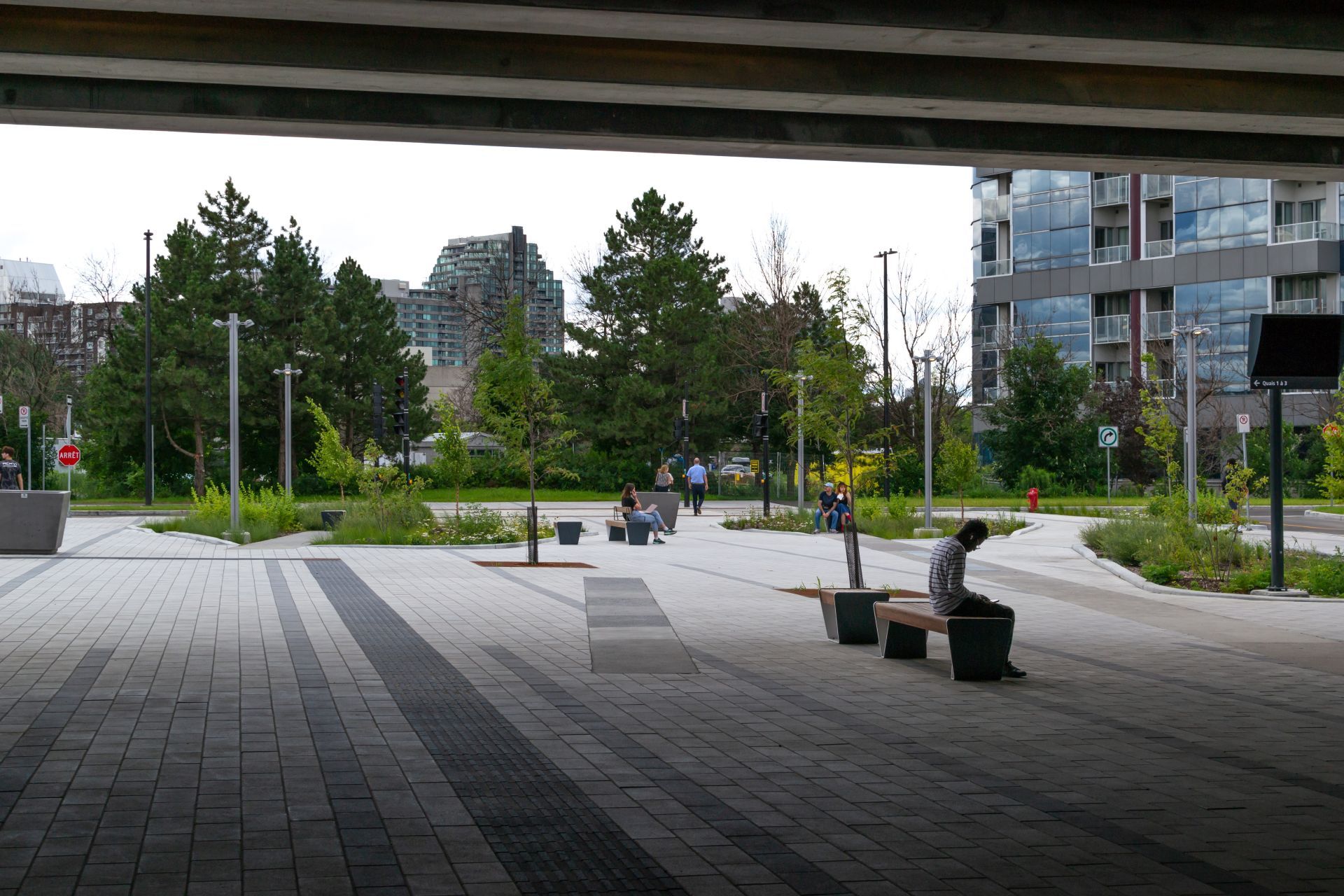
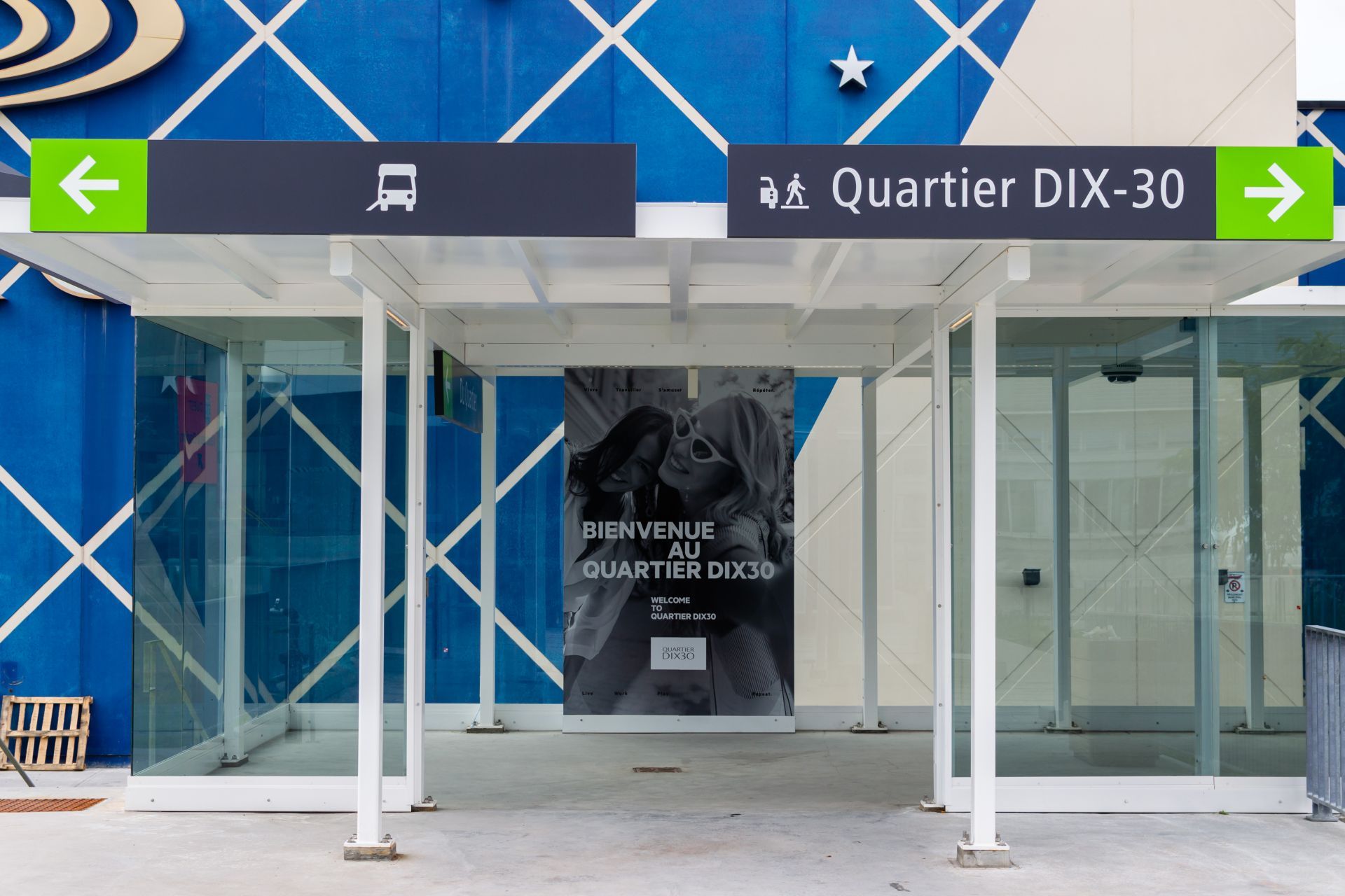
In additiona to the station, the adjacent bus loop connects passengers from the other communities on the South-Shore, as well as the passengers from various parts of Longueuil. preparatory work started on March 15, 2018 with the actual construction starting in the Fall 2018.
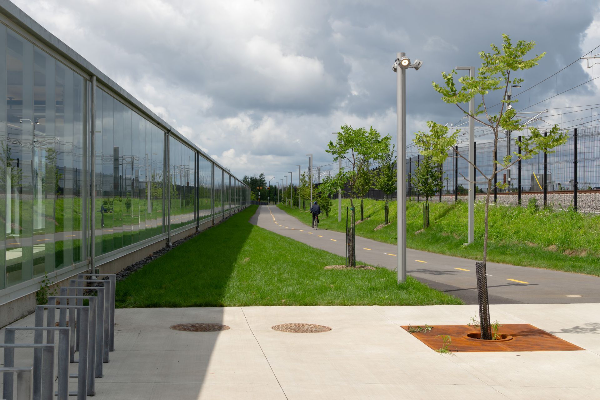
Starting in January 2021, testing began on the segment between Brossard and just south of Panama.
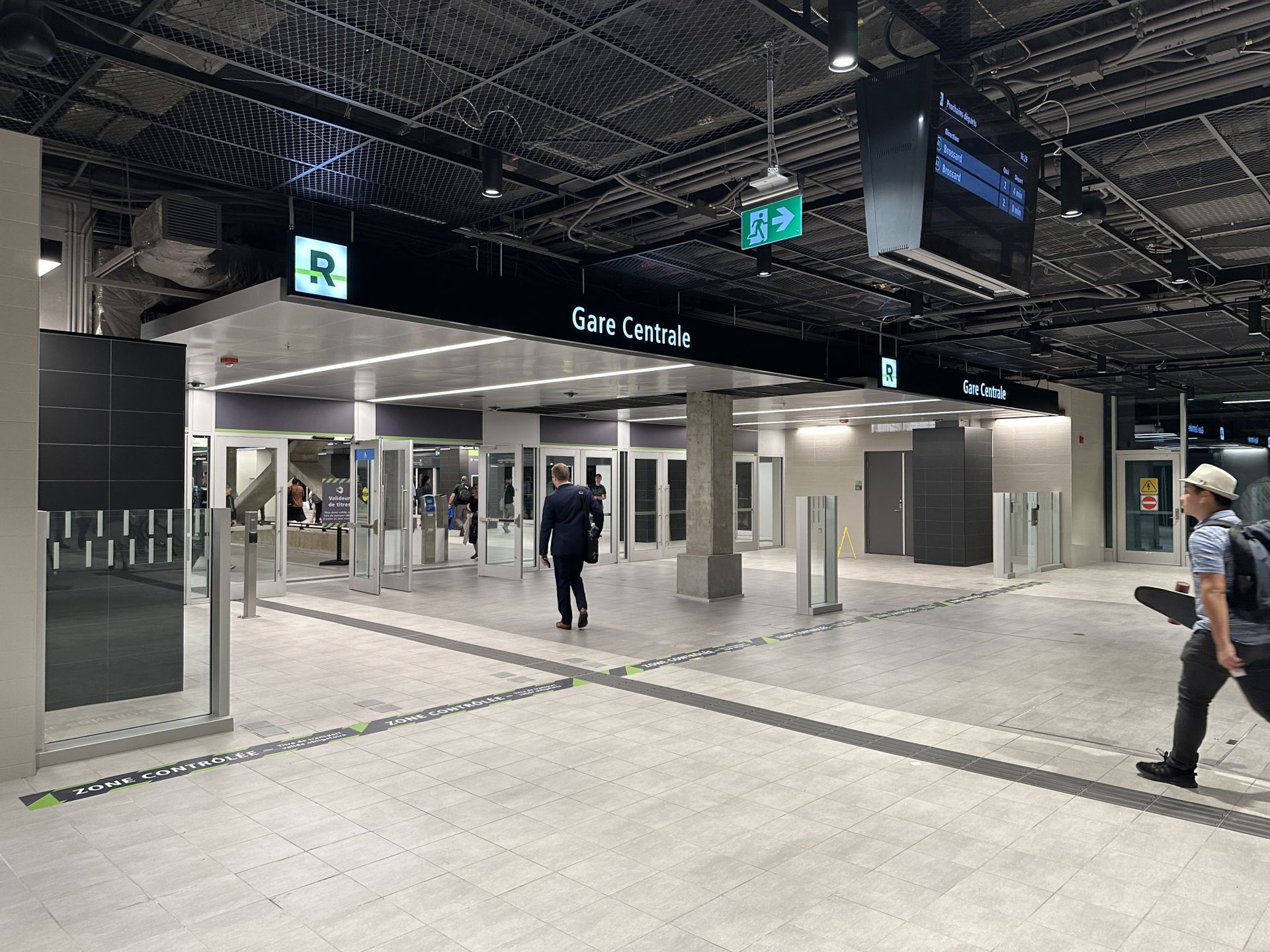
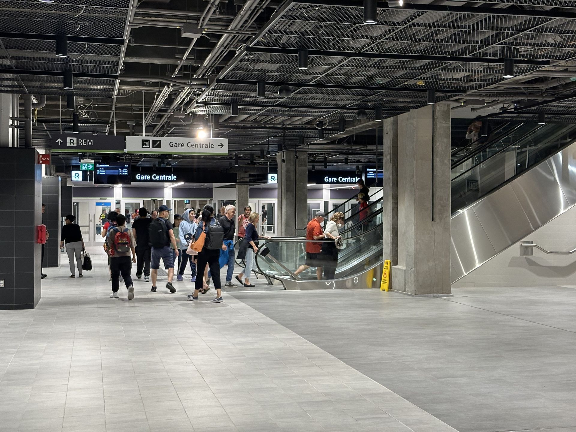
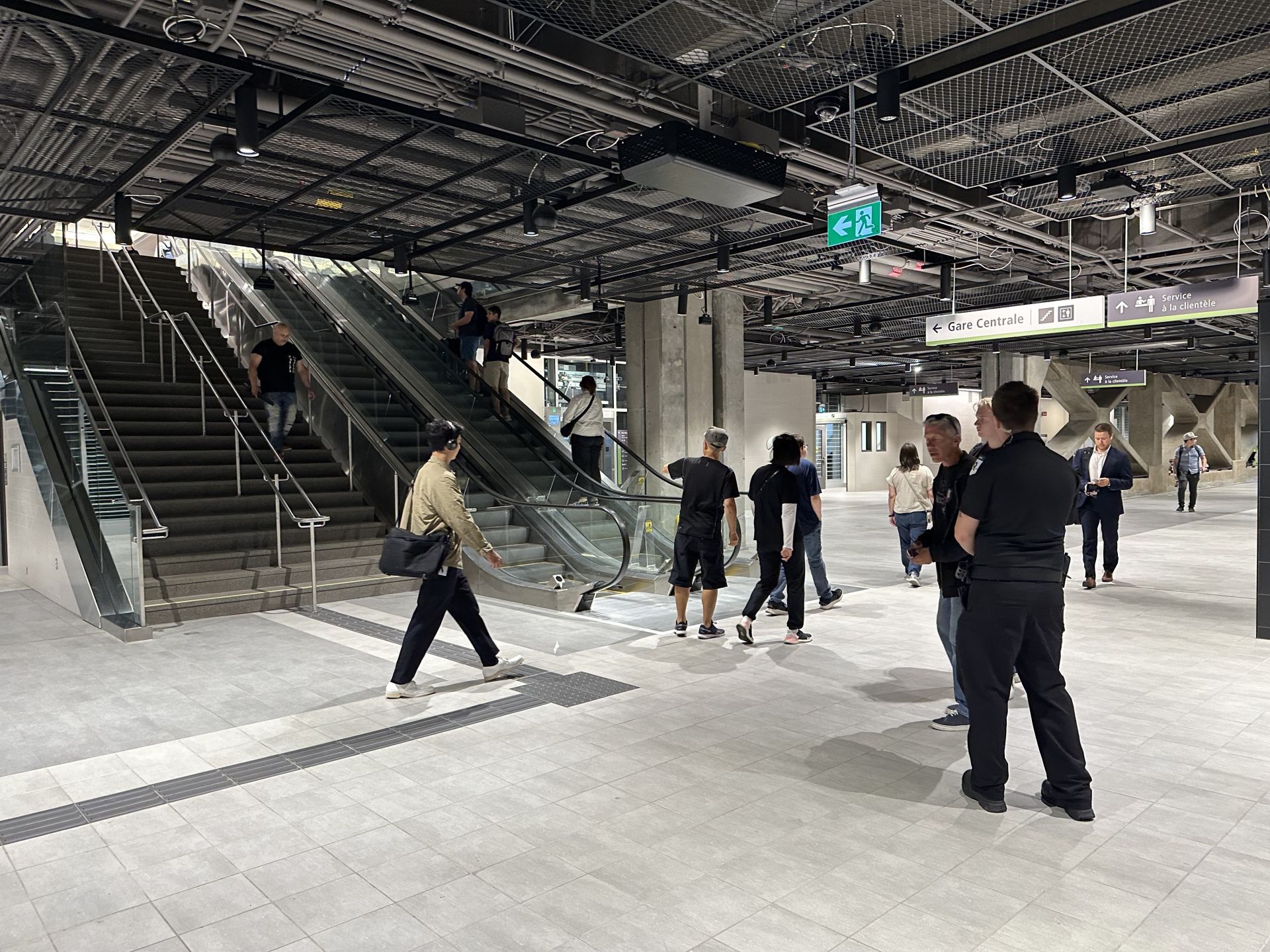
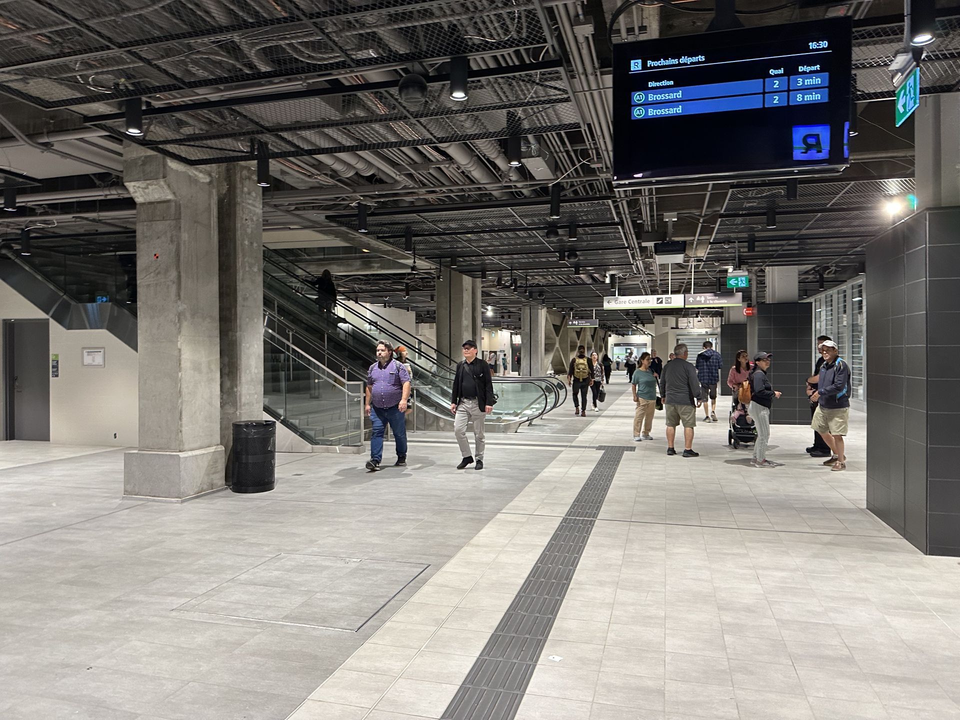
On July 28, 2023, the station was used for the inauguration ceremony of the first segment of the REM between Gare Centrale and Brossard. Medias and dignitaries departed from the station for the first inaugural train on this day. Brossard was also the first departure on Monday July 31, 2023 at 5:30AM with the first train to depart a station on the network.
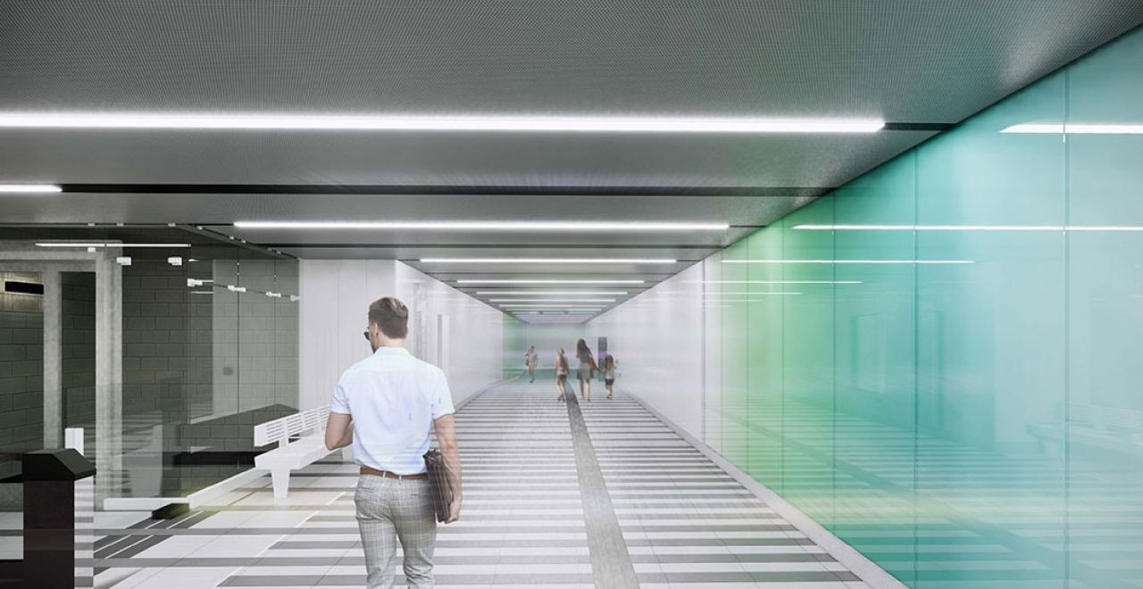
UNIQUE FEATURES
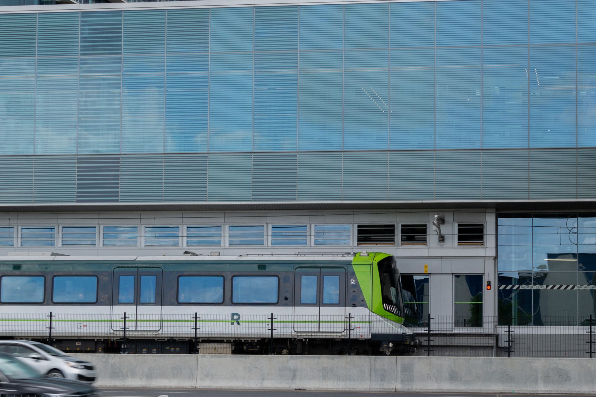
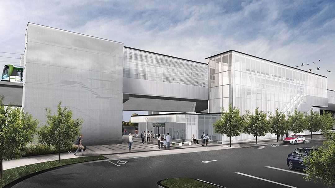
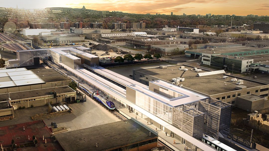
- The station is also located on the site where the Brossard Light Maintenance and Storage Facility maintains the current fleet of the REM until the finalization of the Anse-A-L'Orme and Deux-Montagnes branches. Once trains are removed from service, either at the end of the day or for other reasons, trains continue behind the station and enter the car wash before returning to the yard.
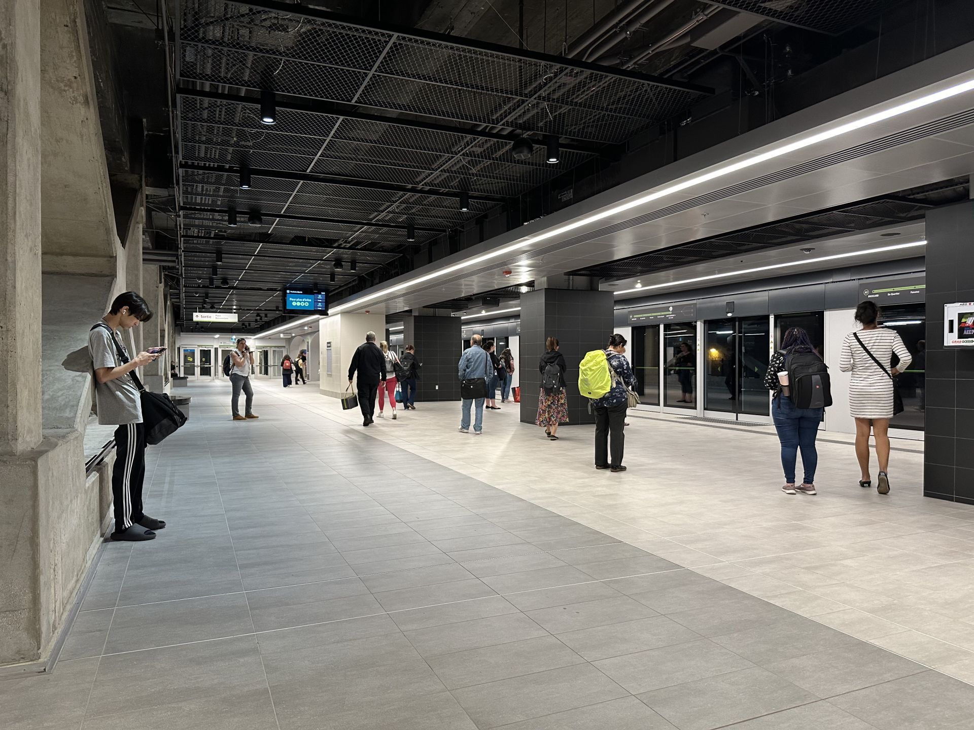
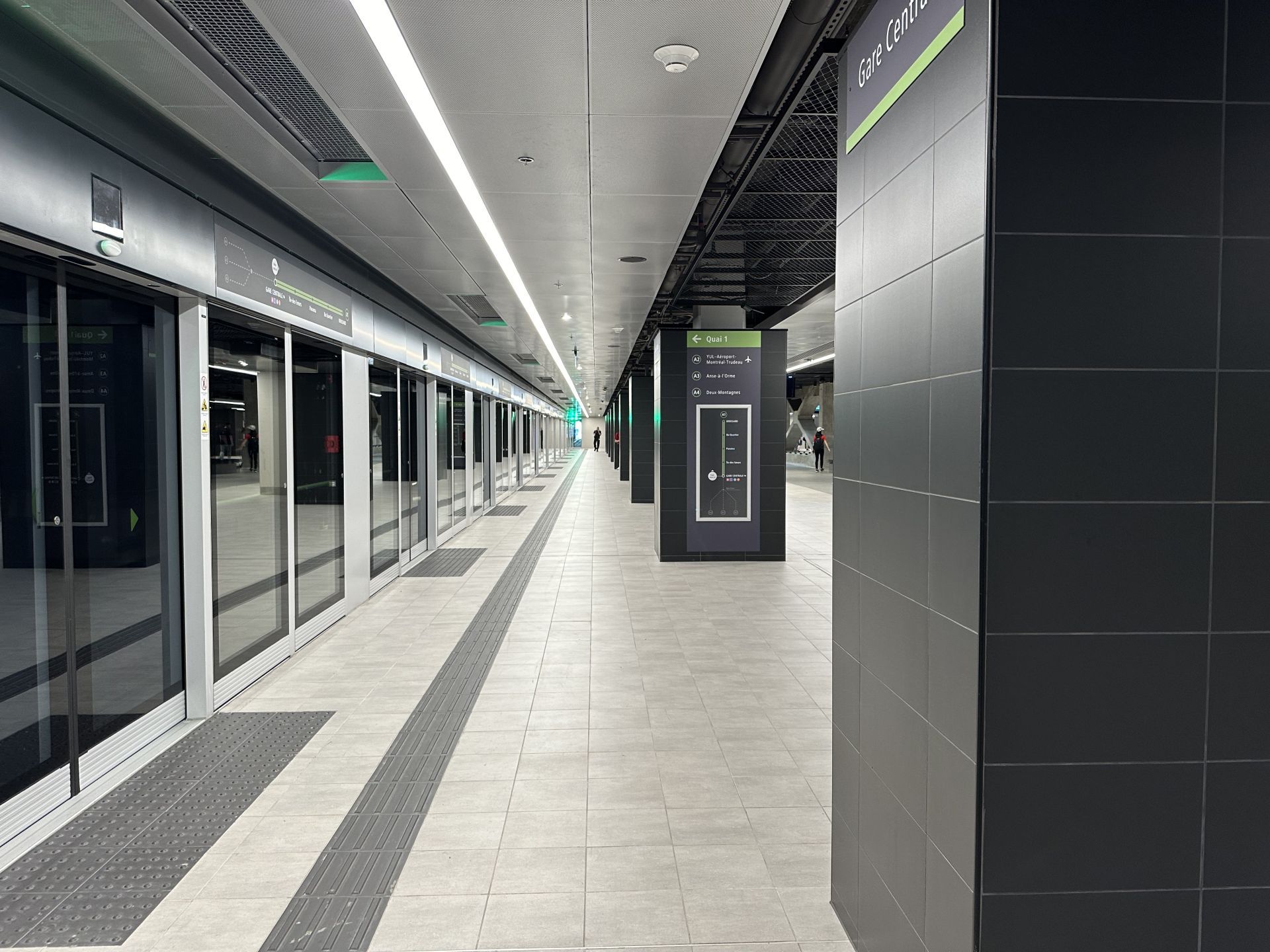
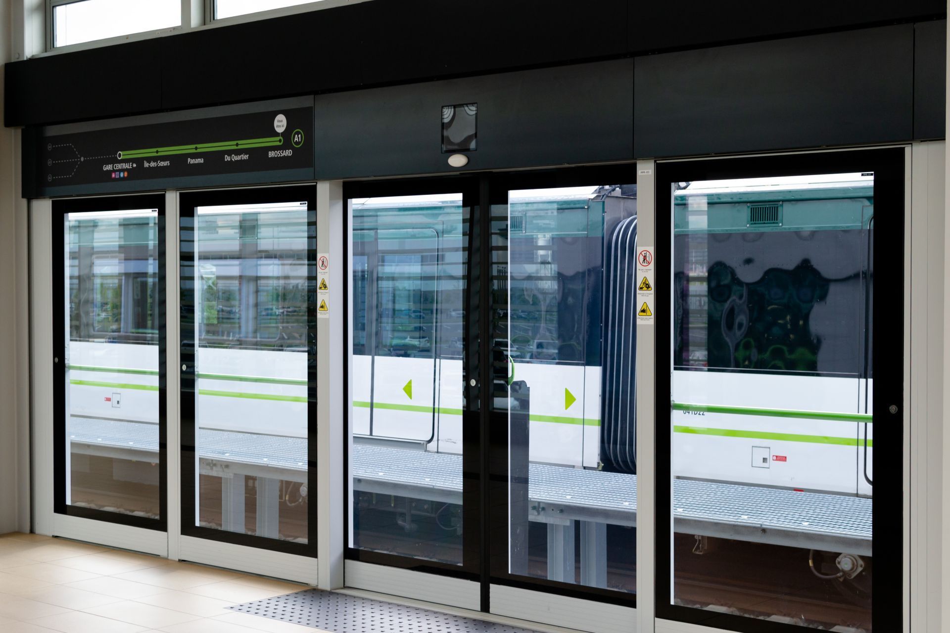
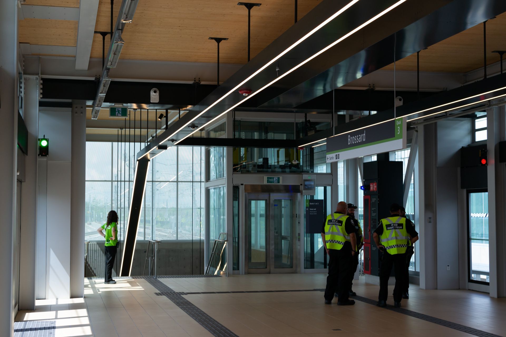
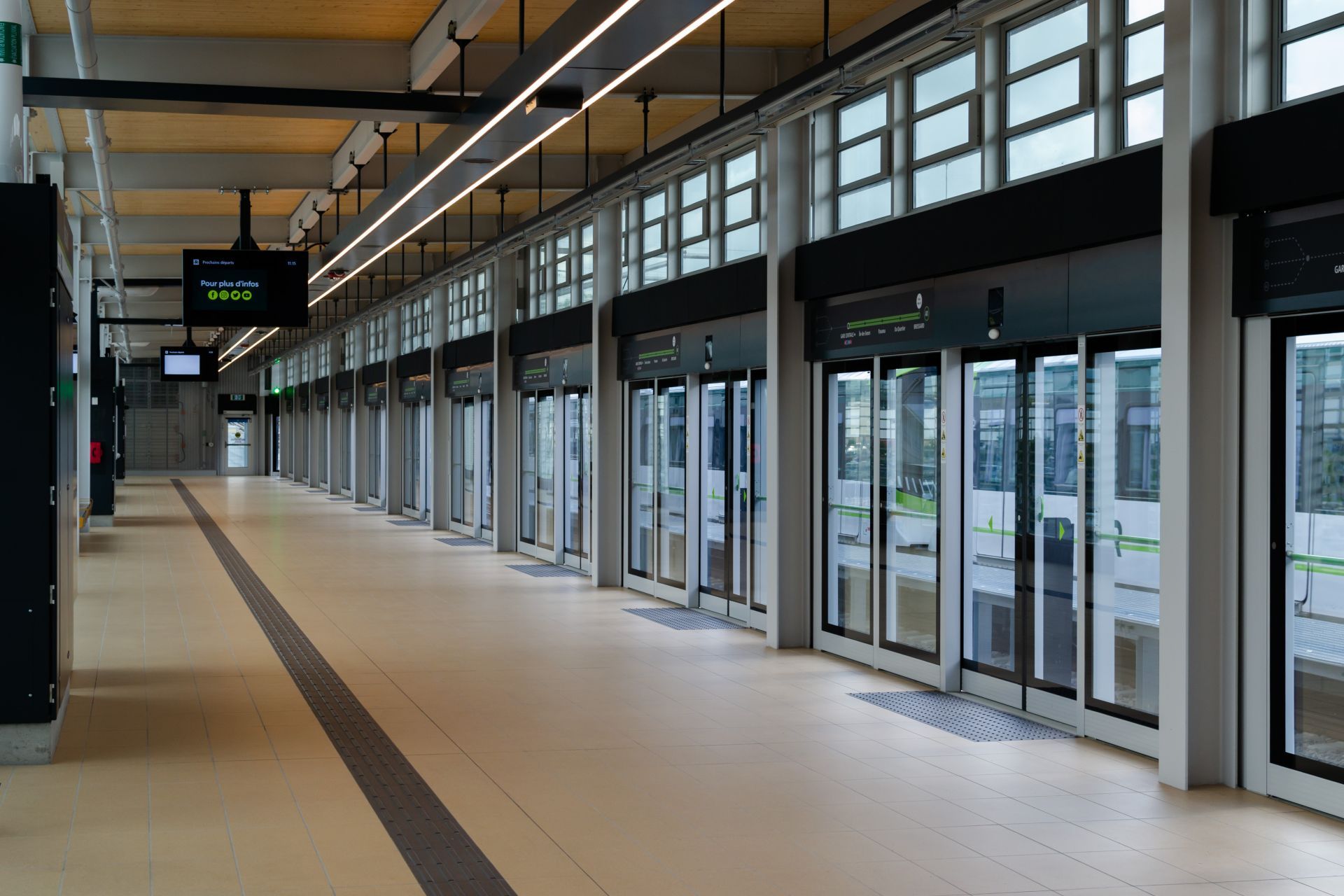
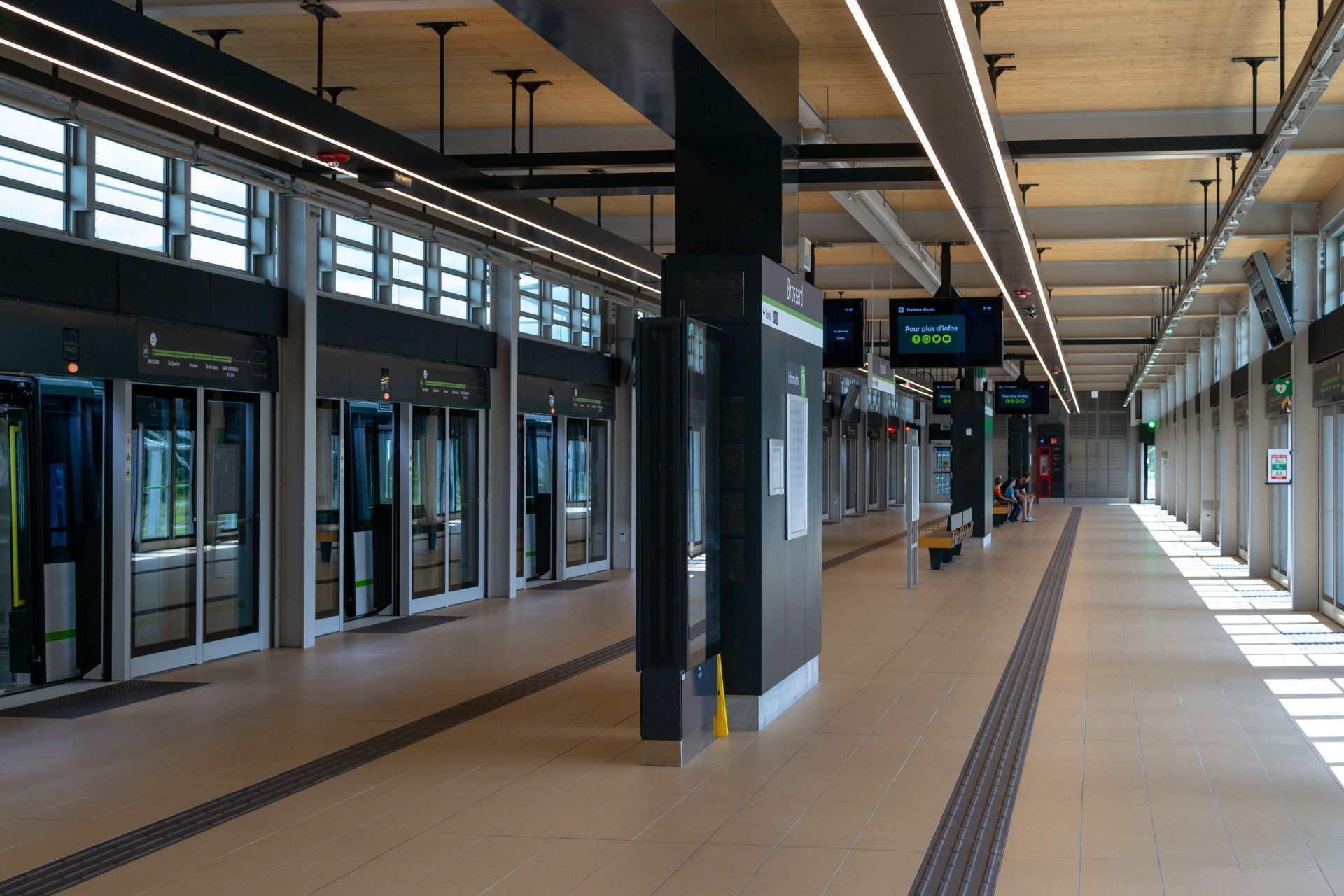
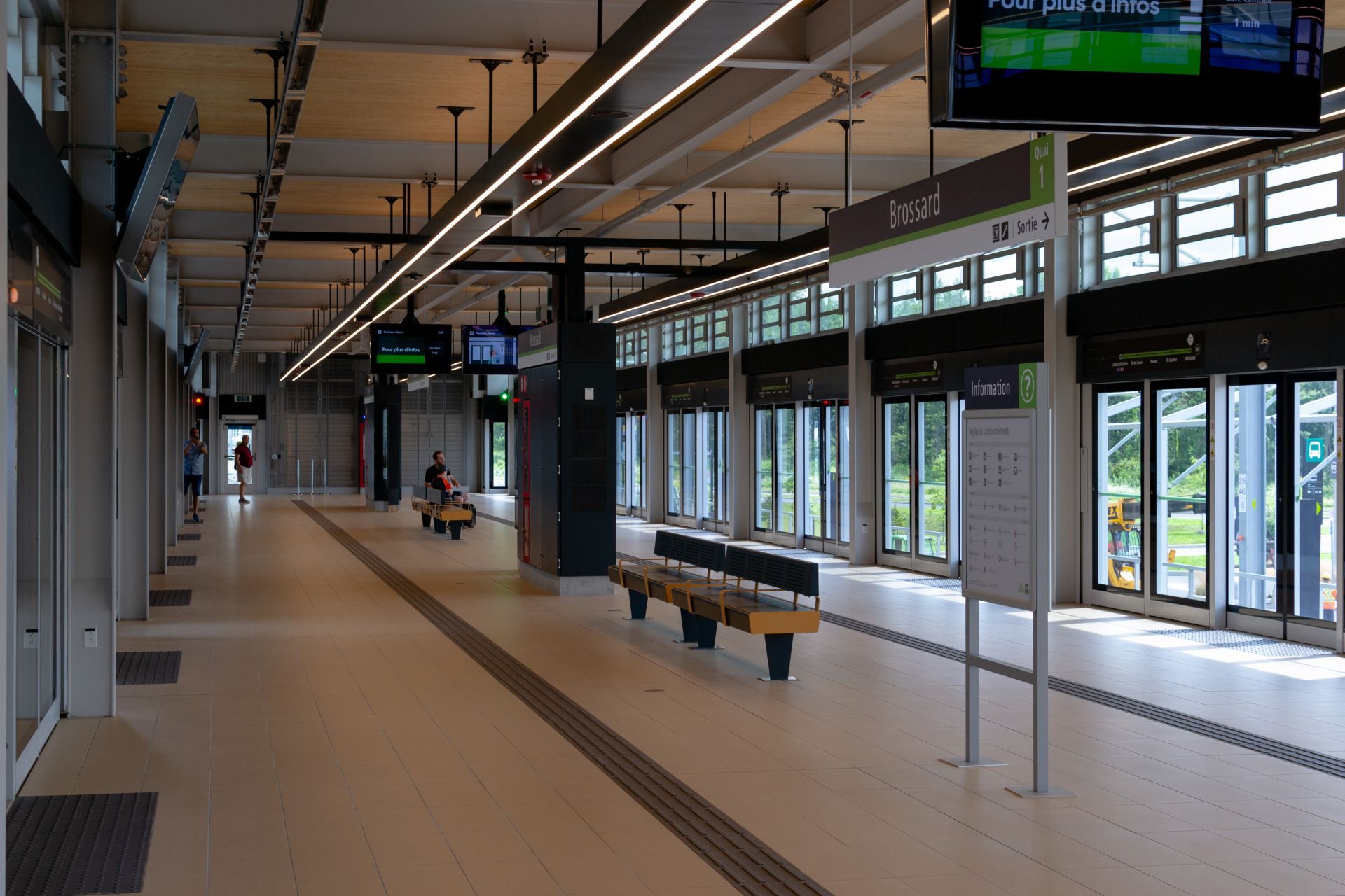
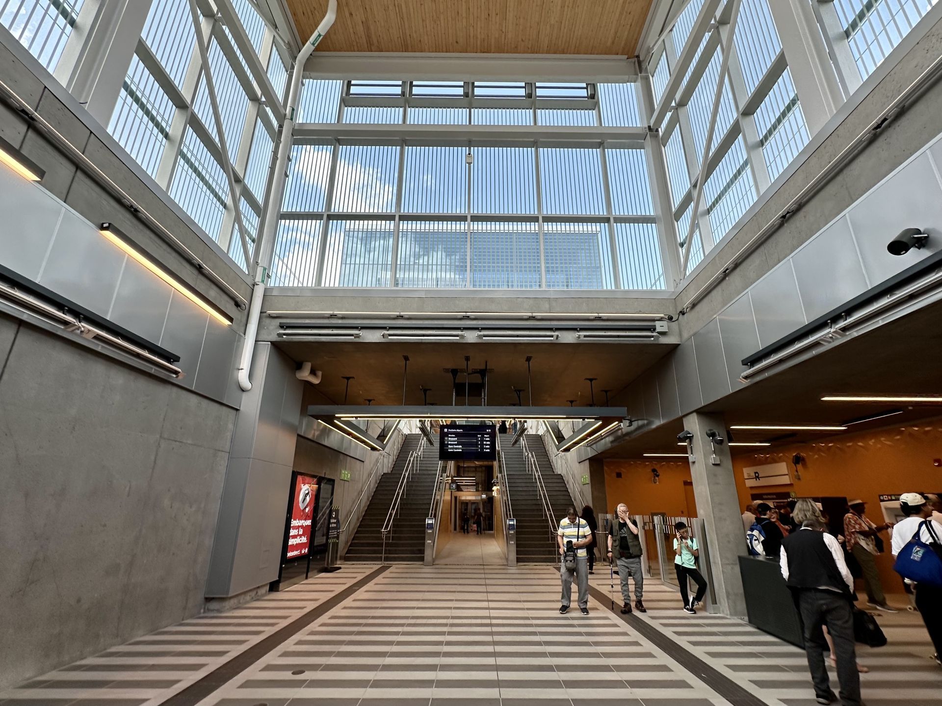
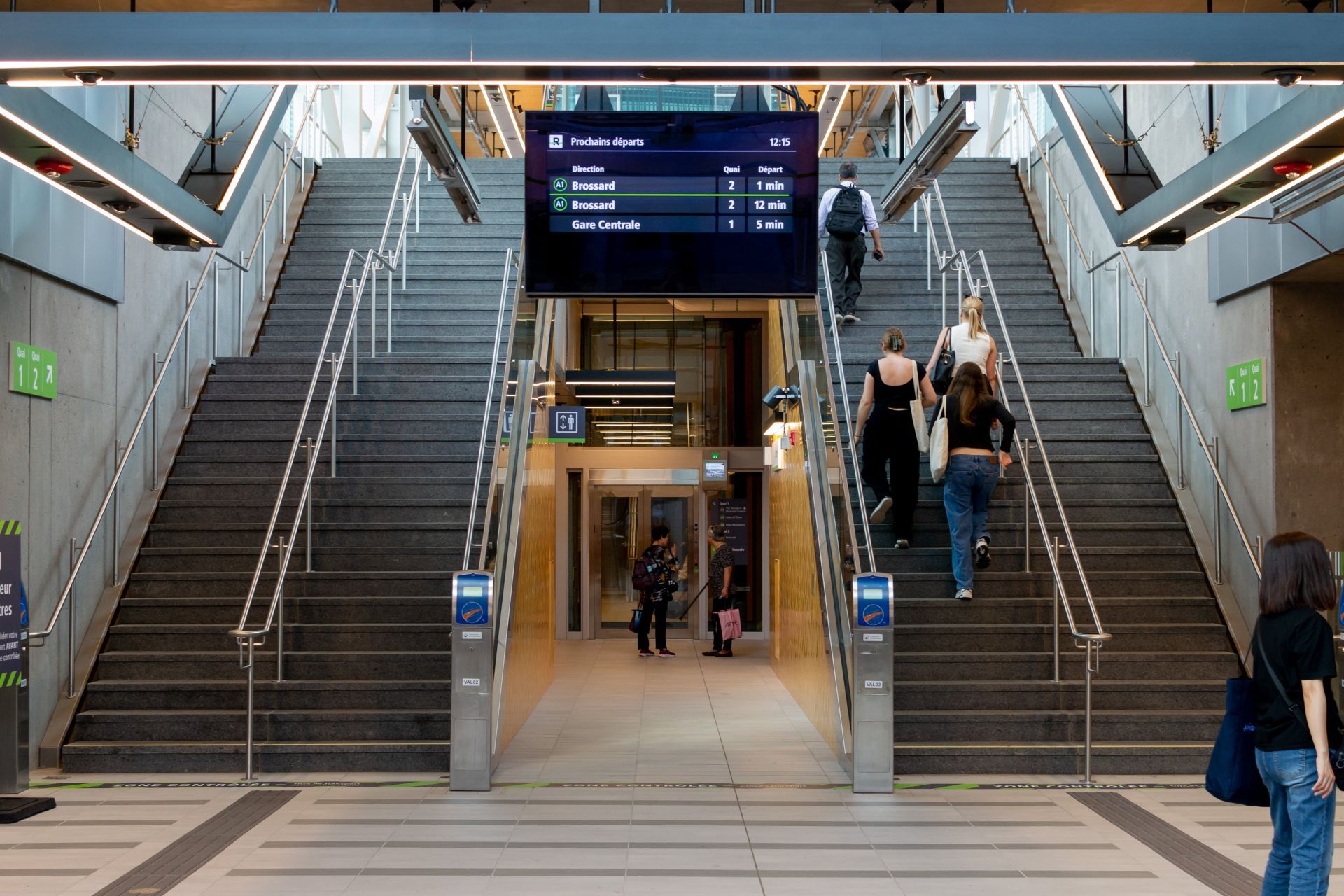
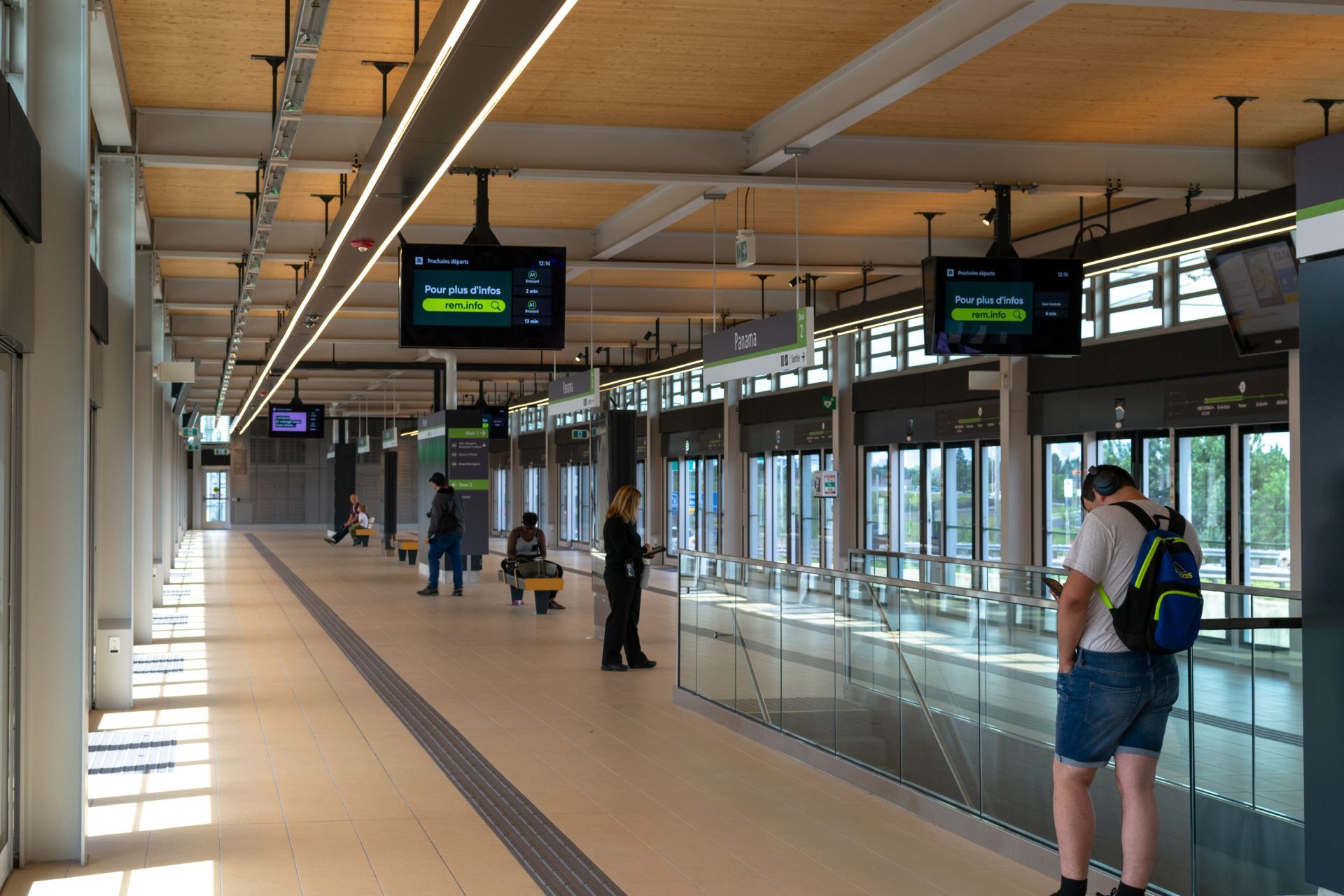
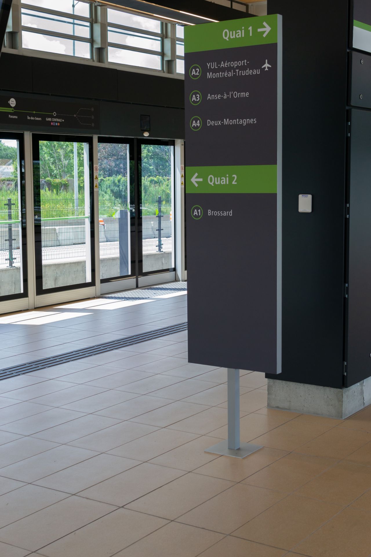
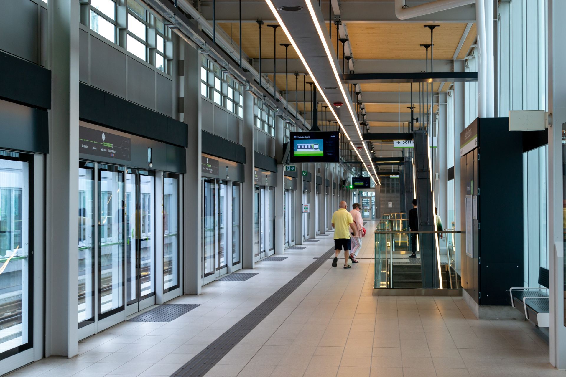
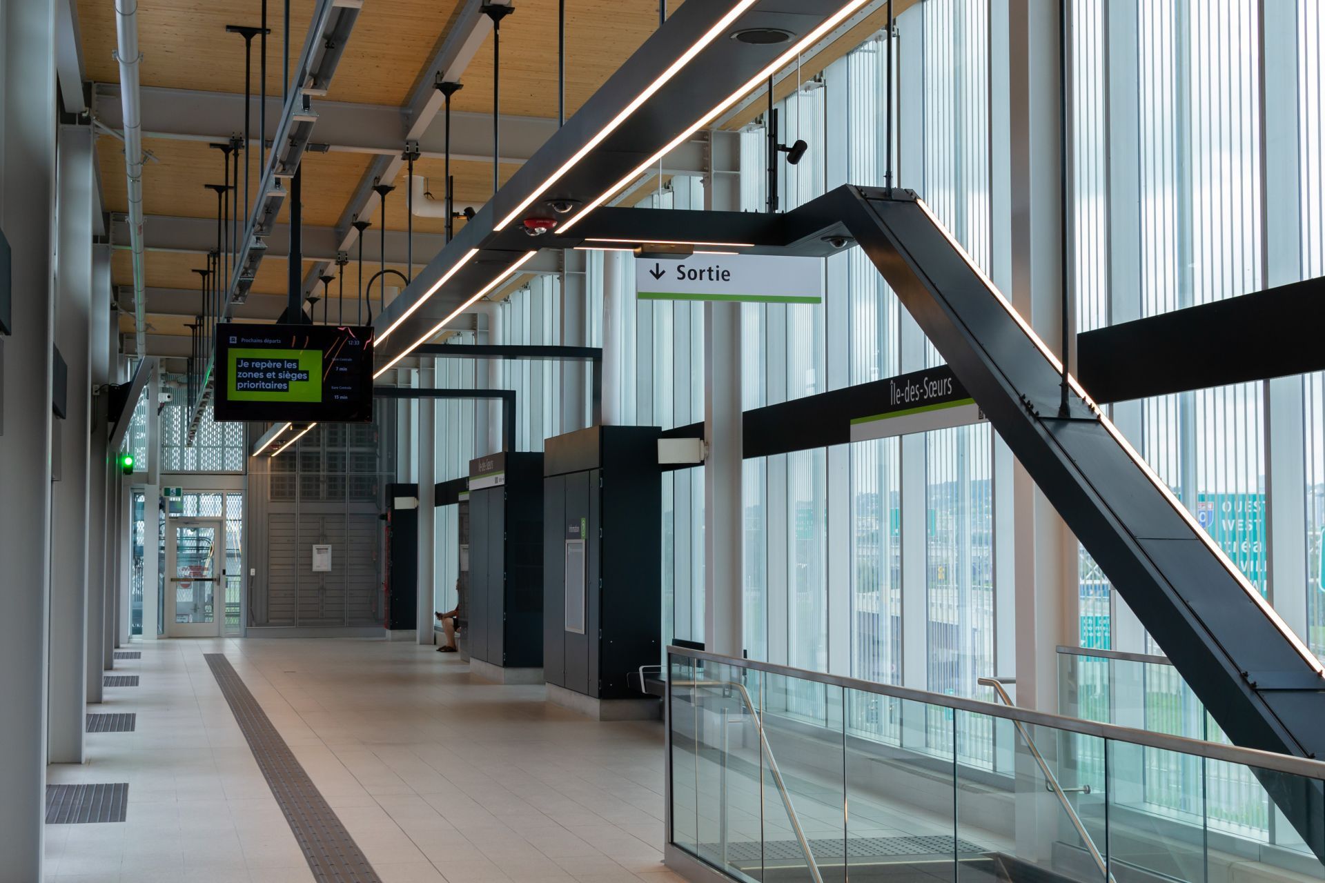
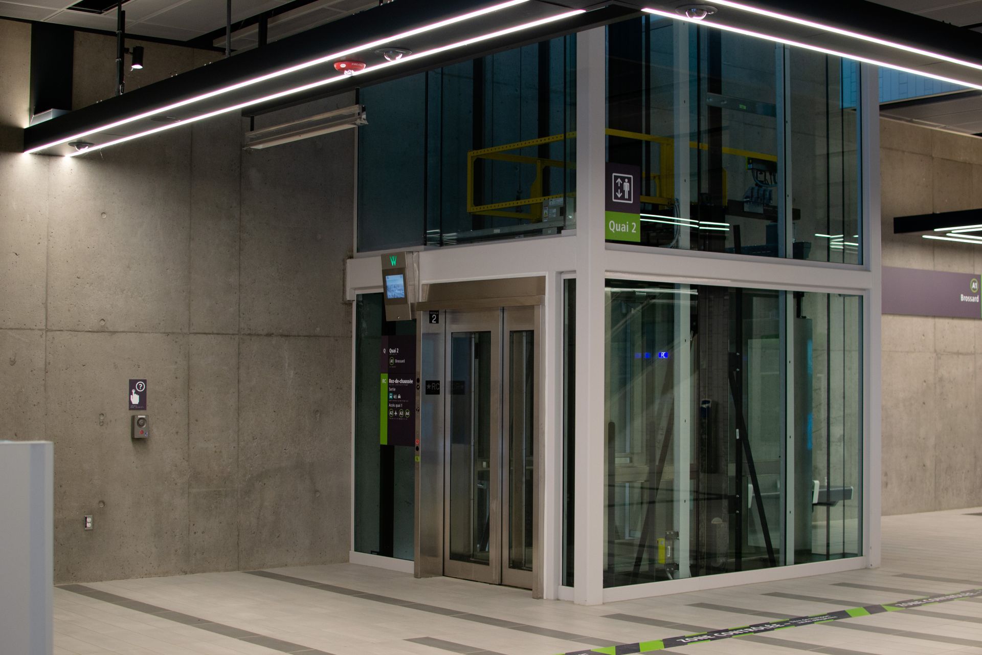
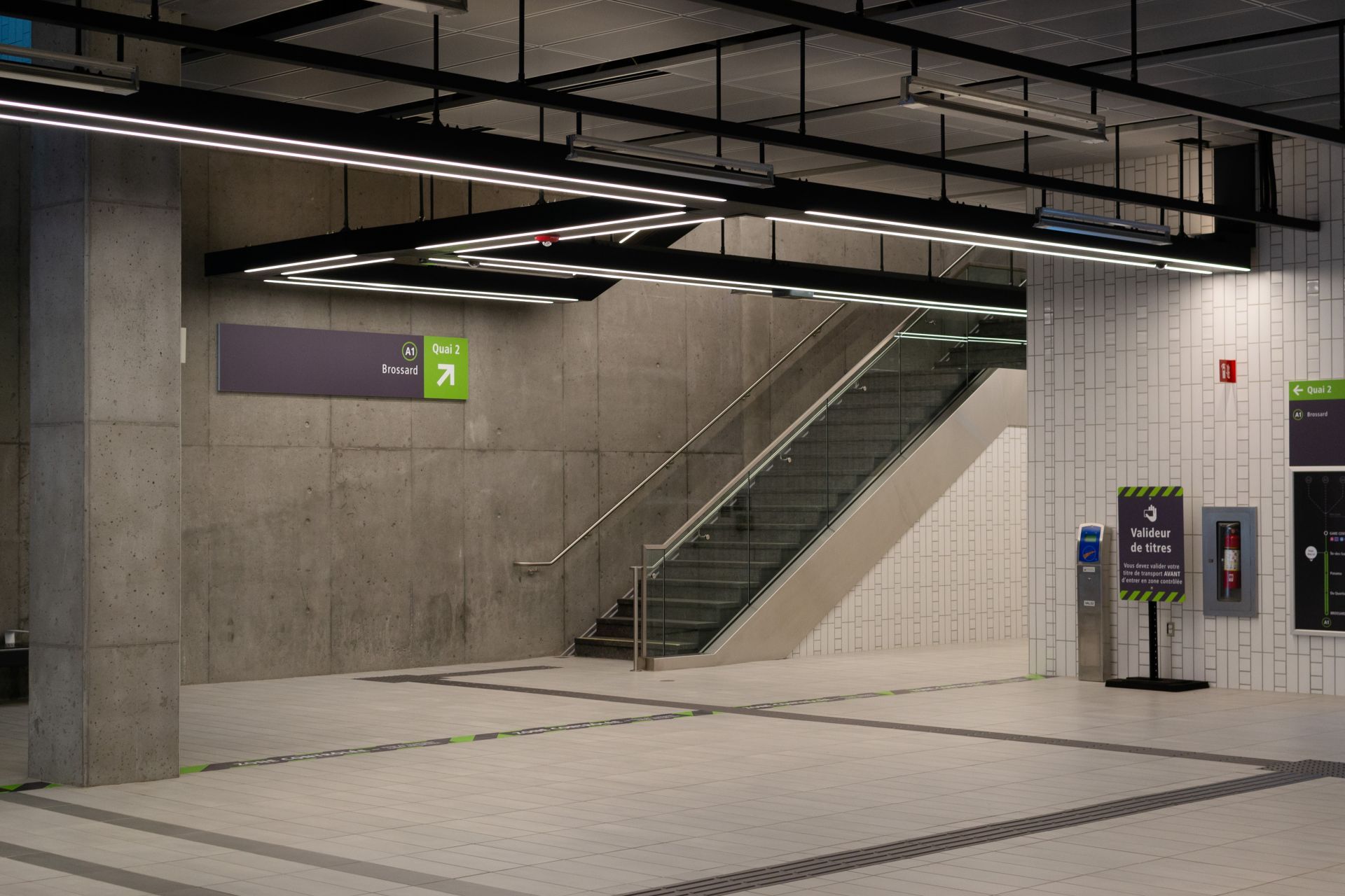
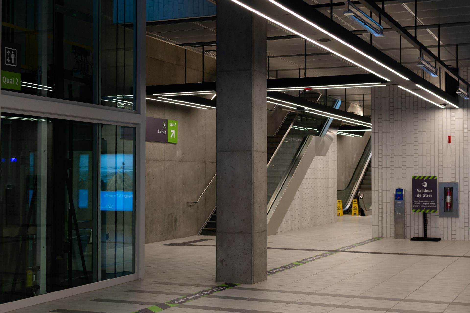
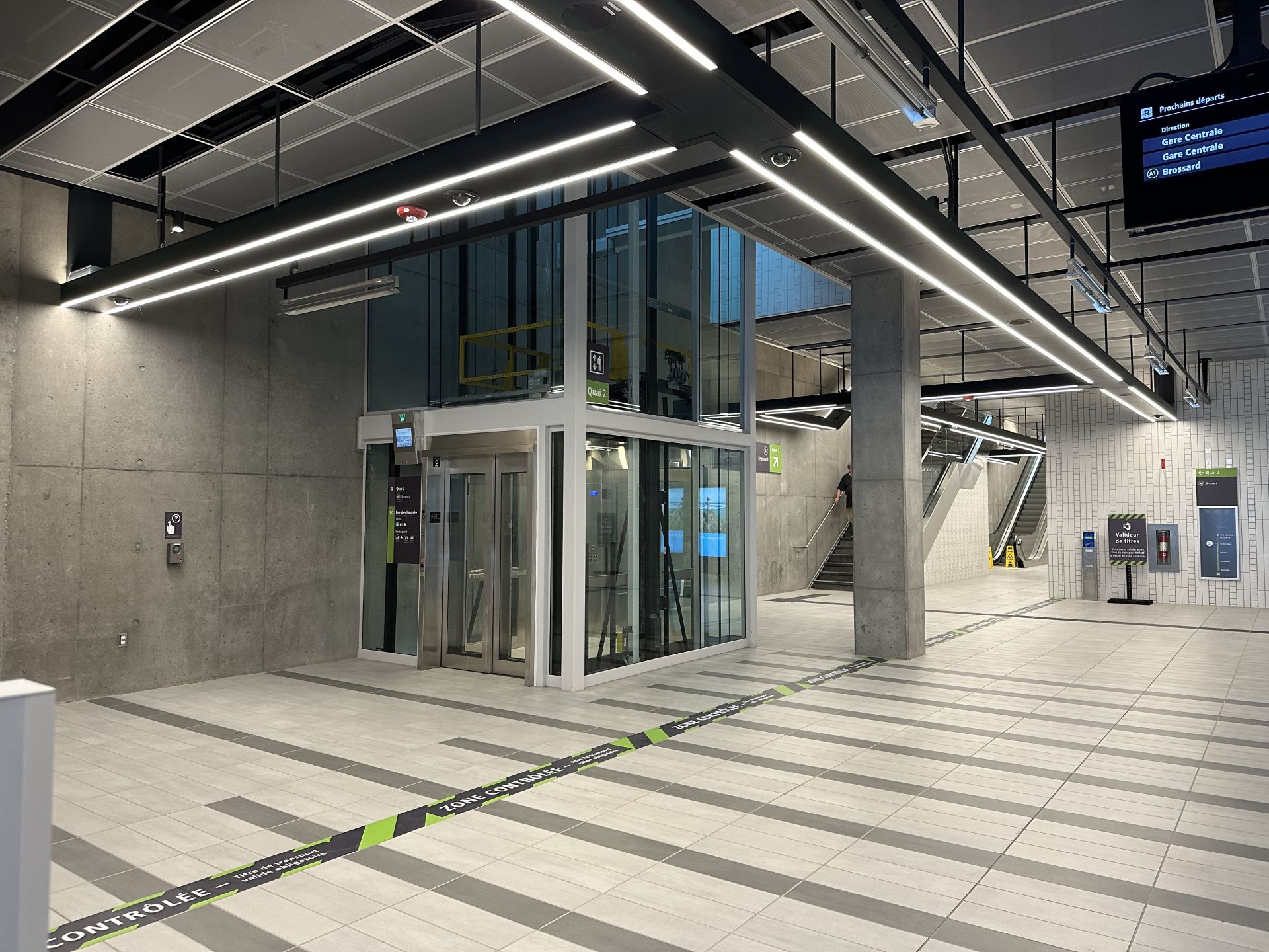
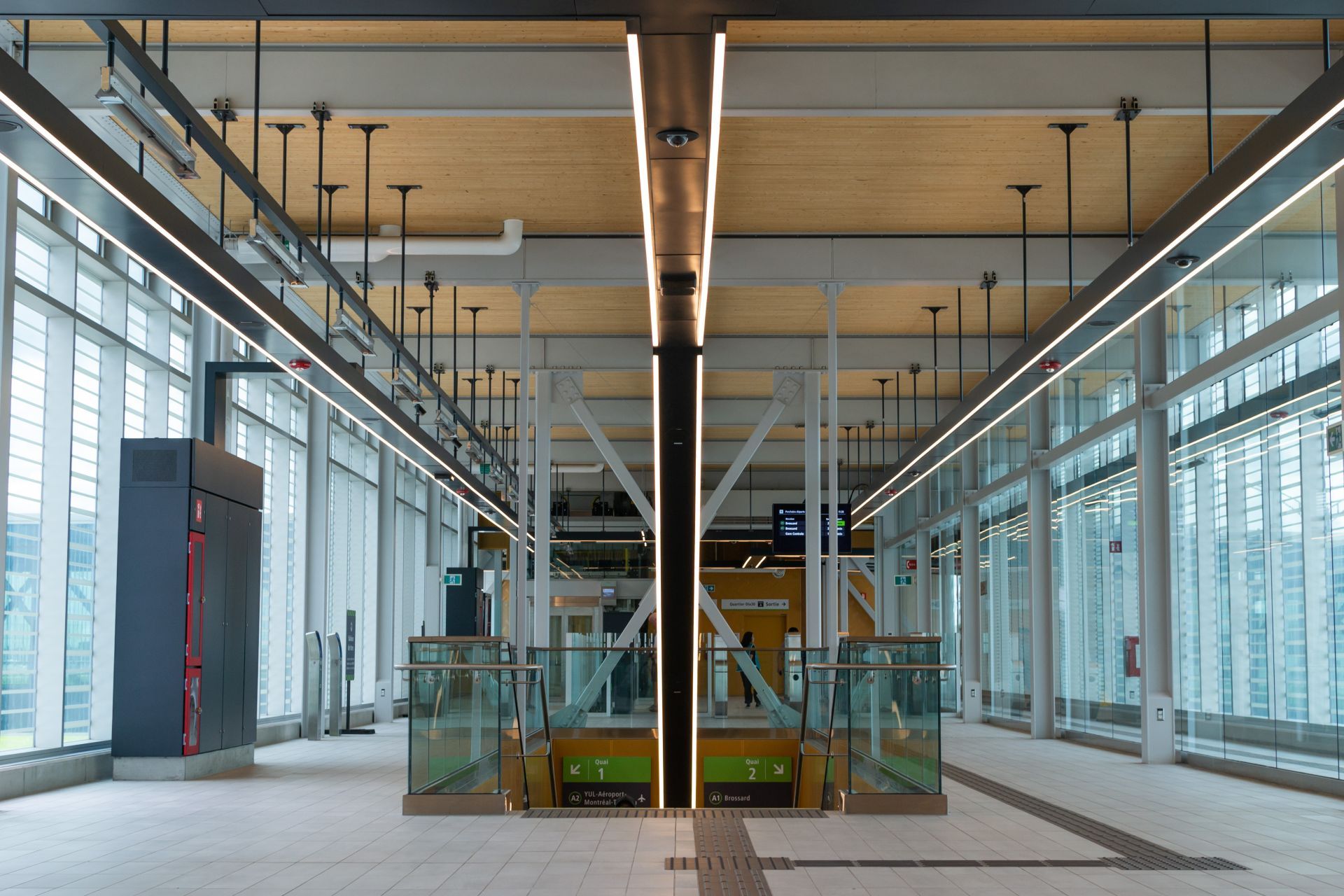
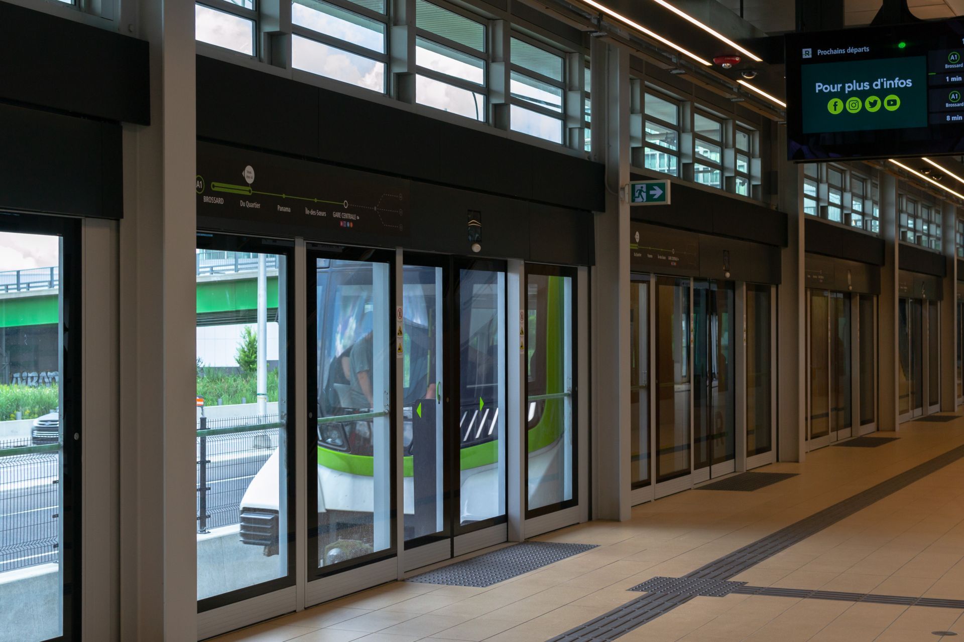
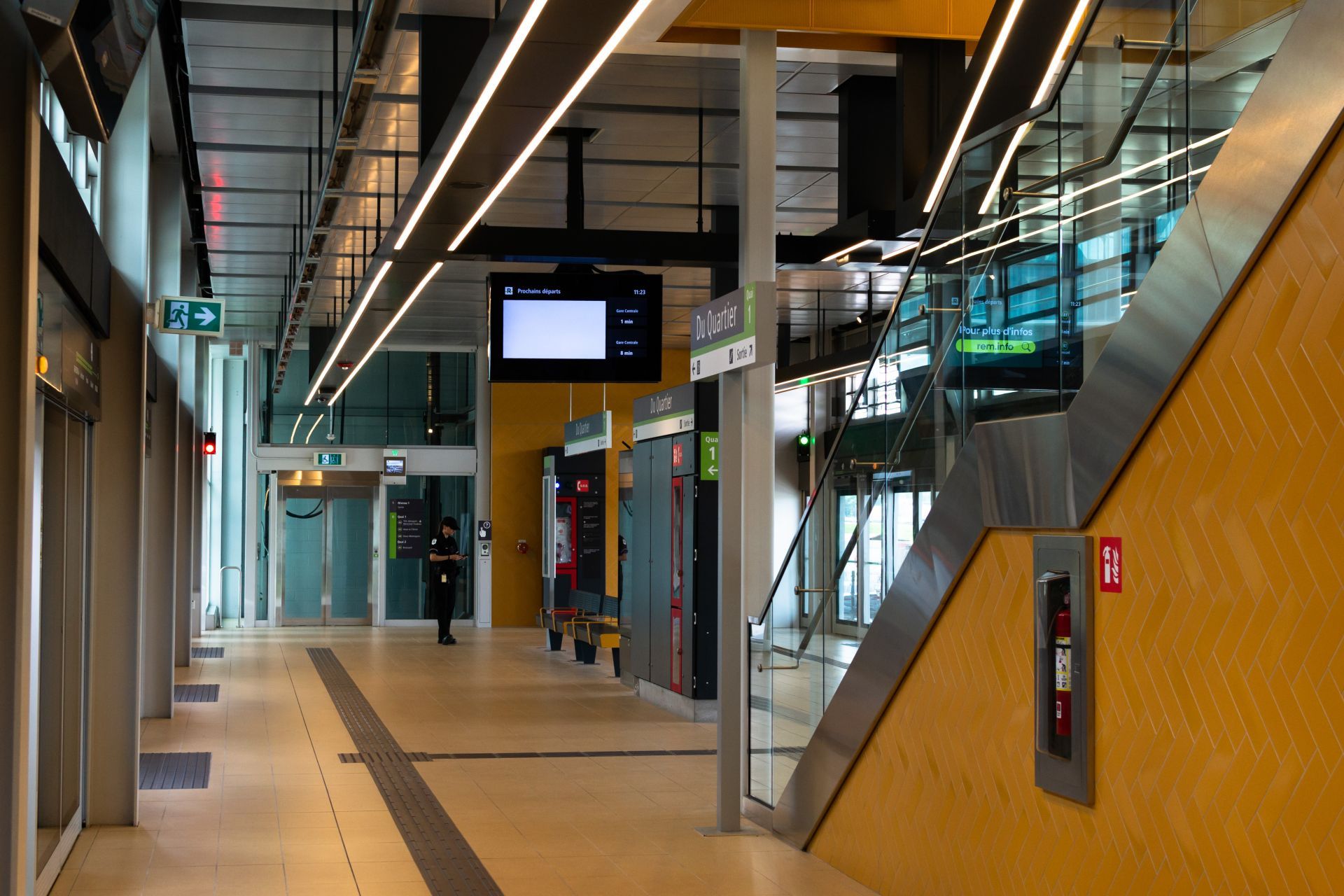
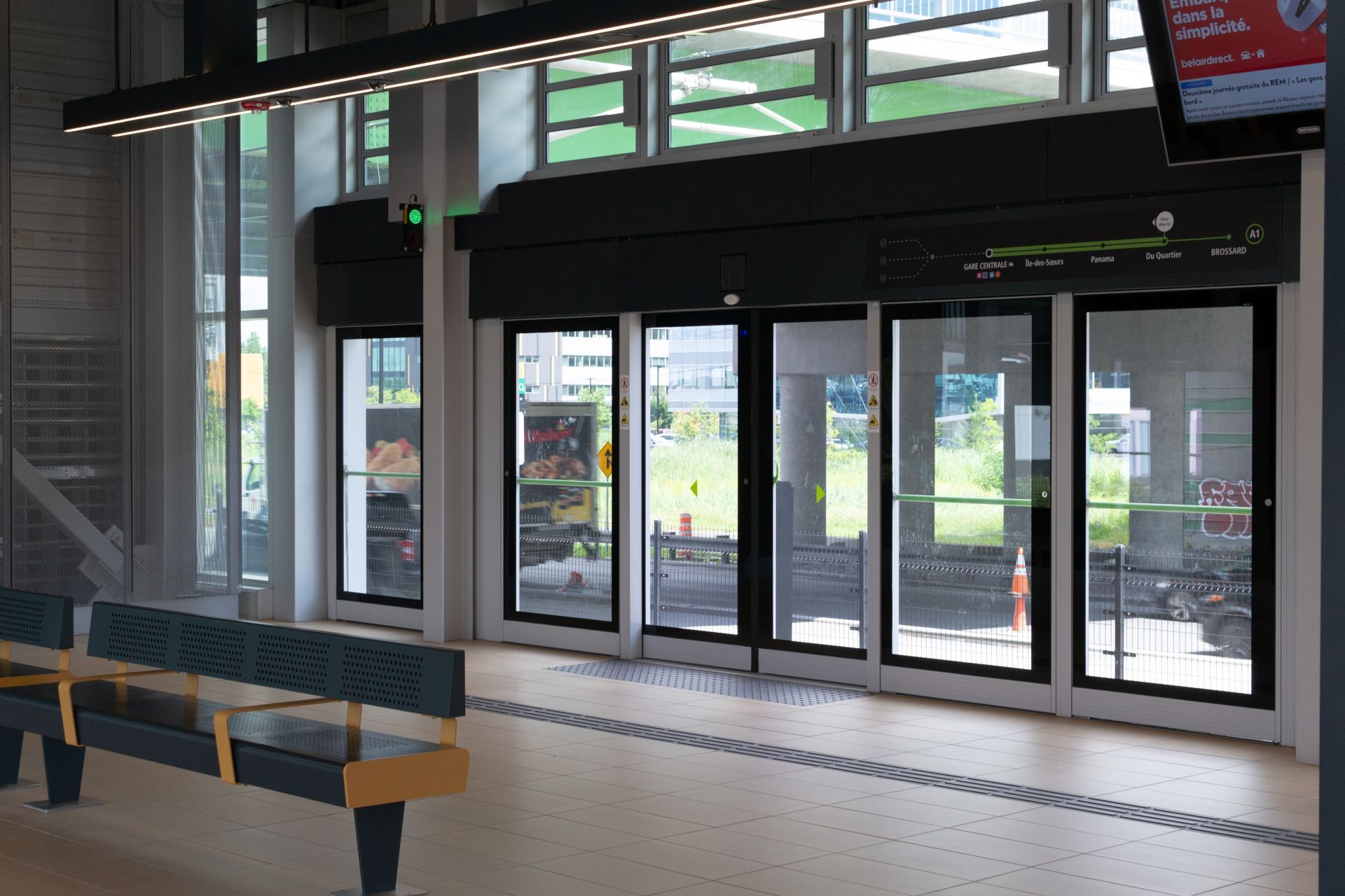
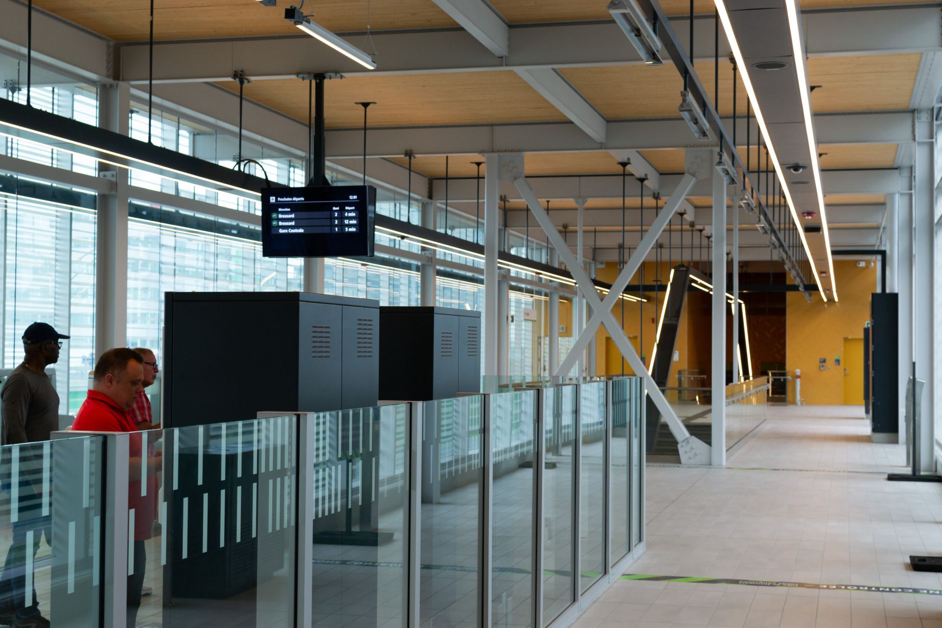
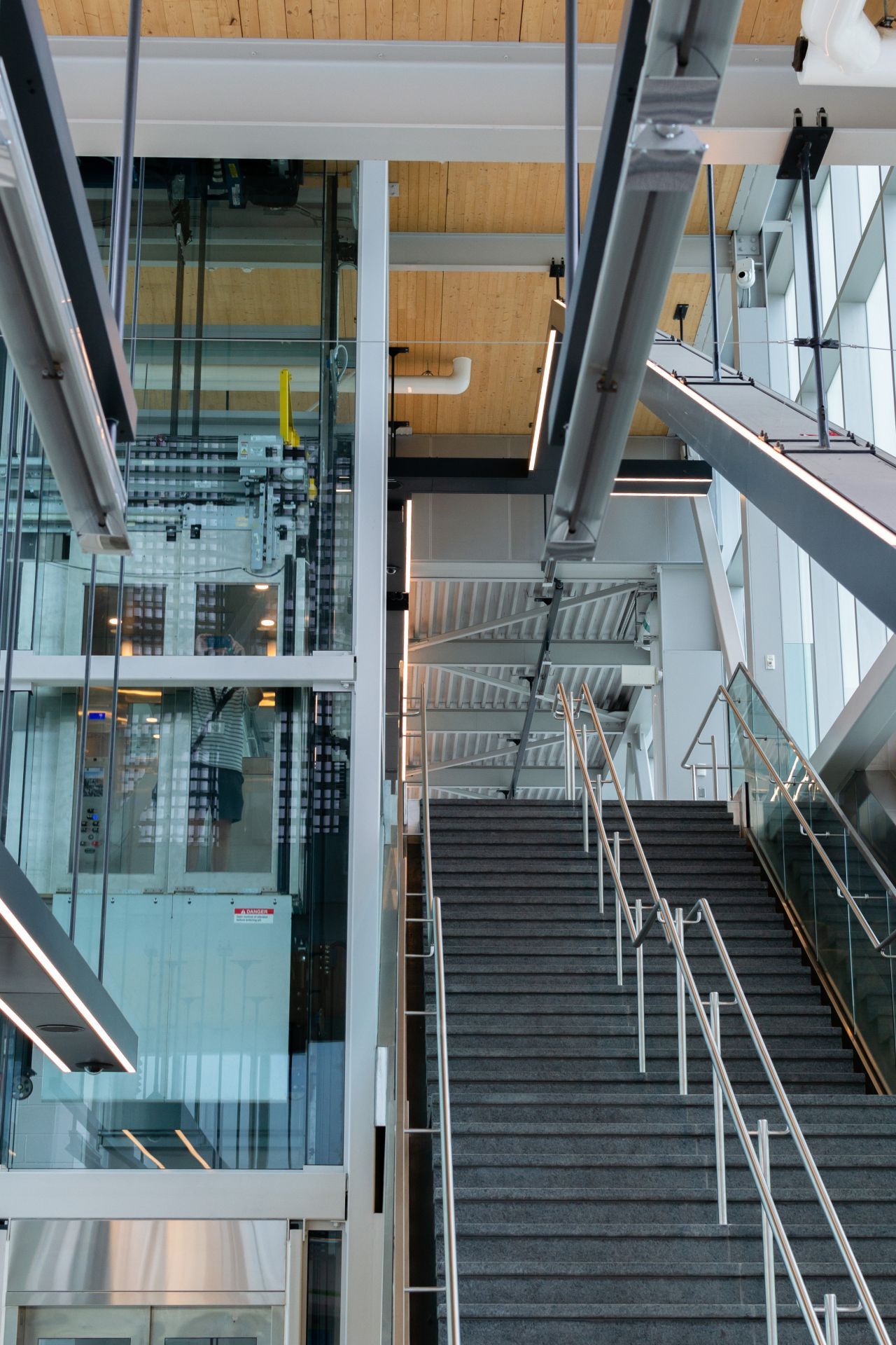
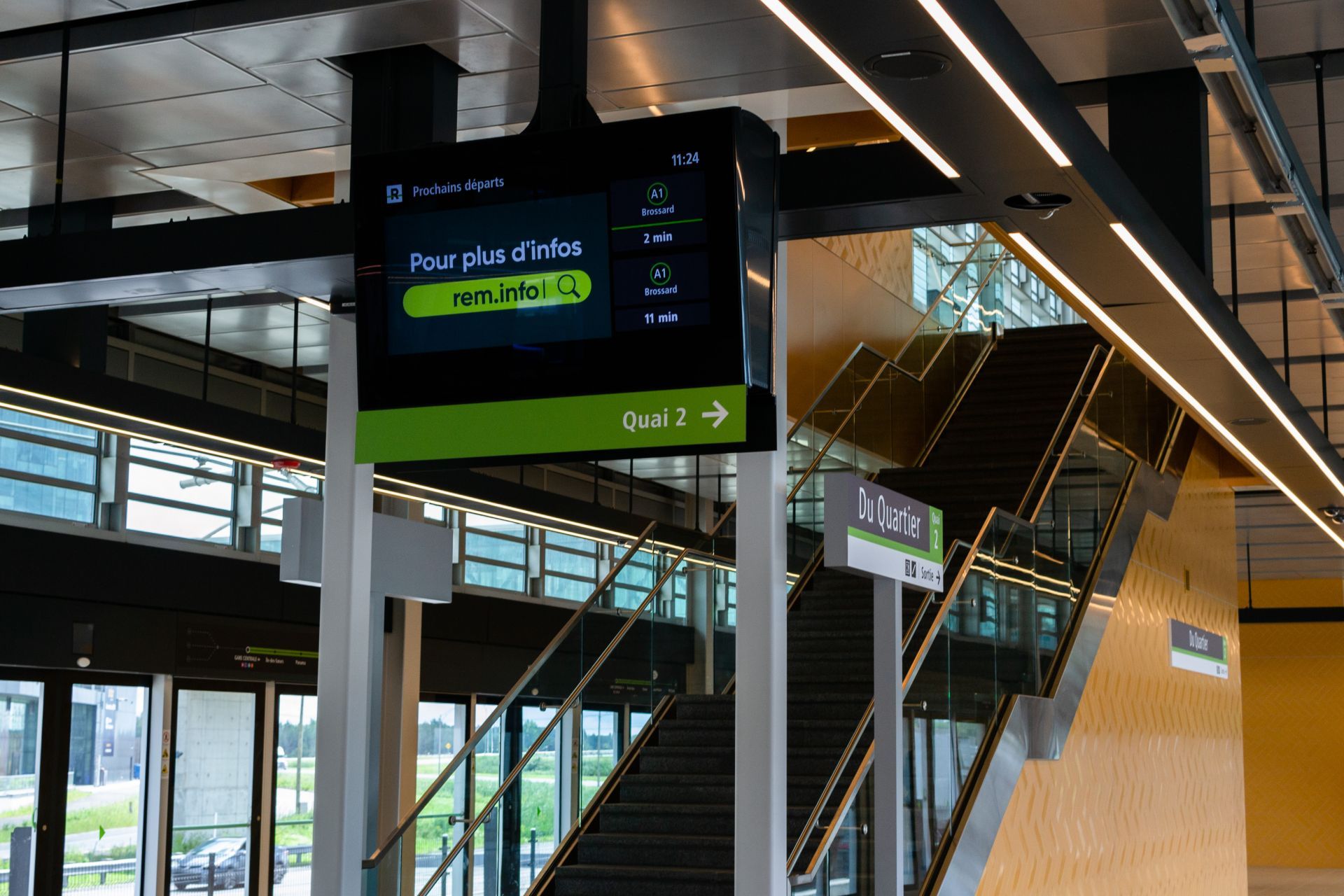
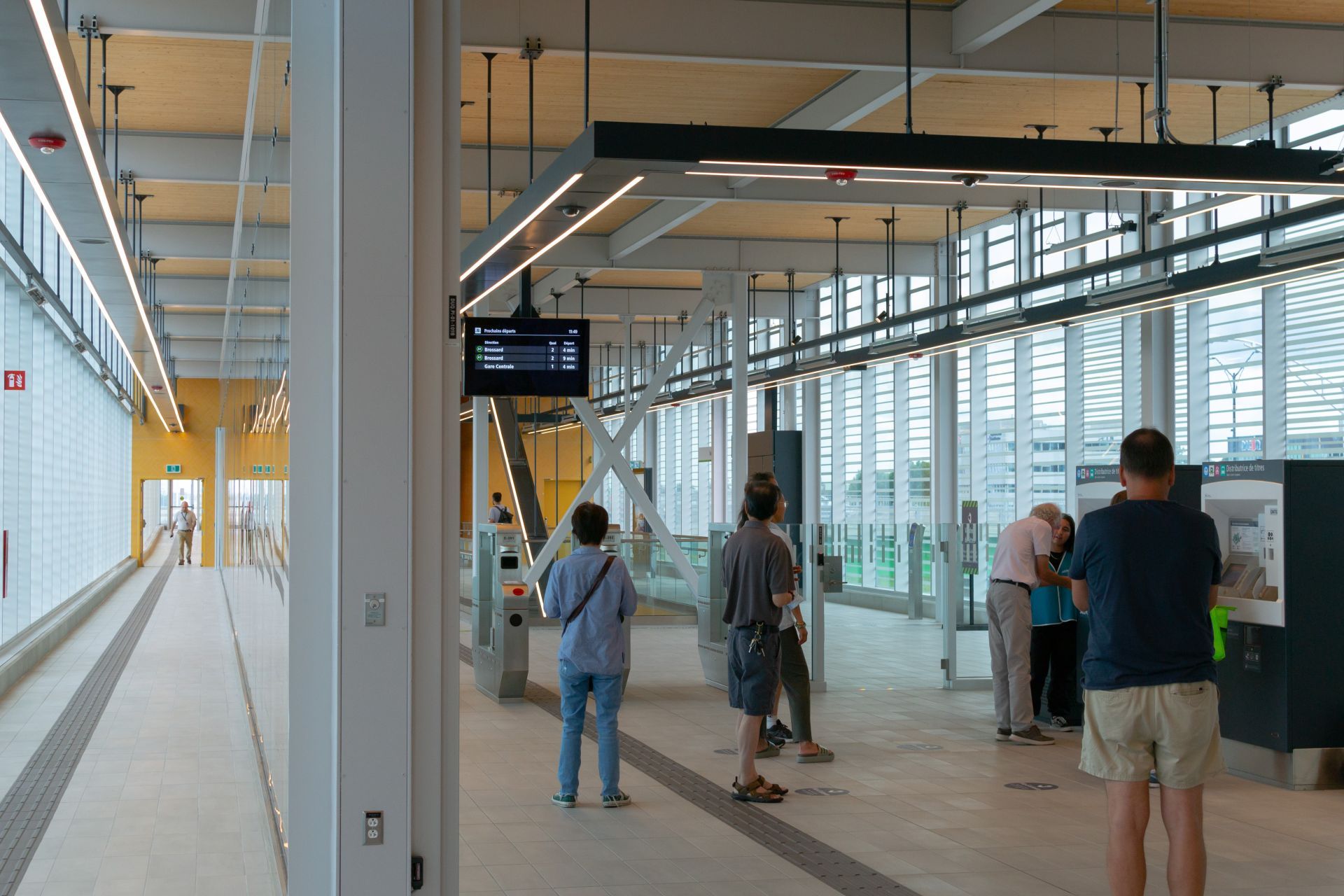
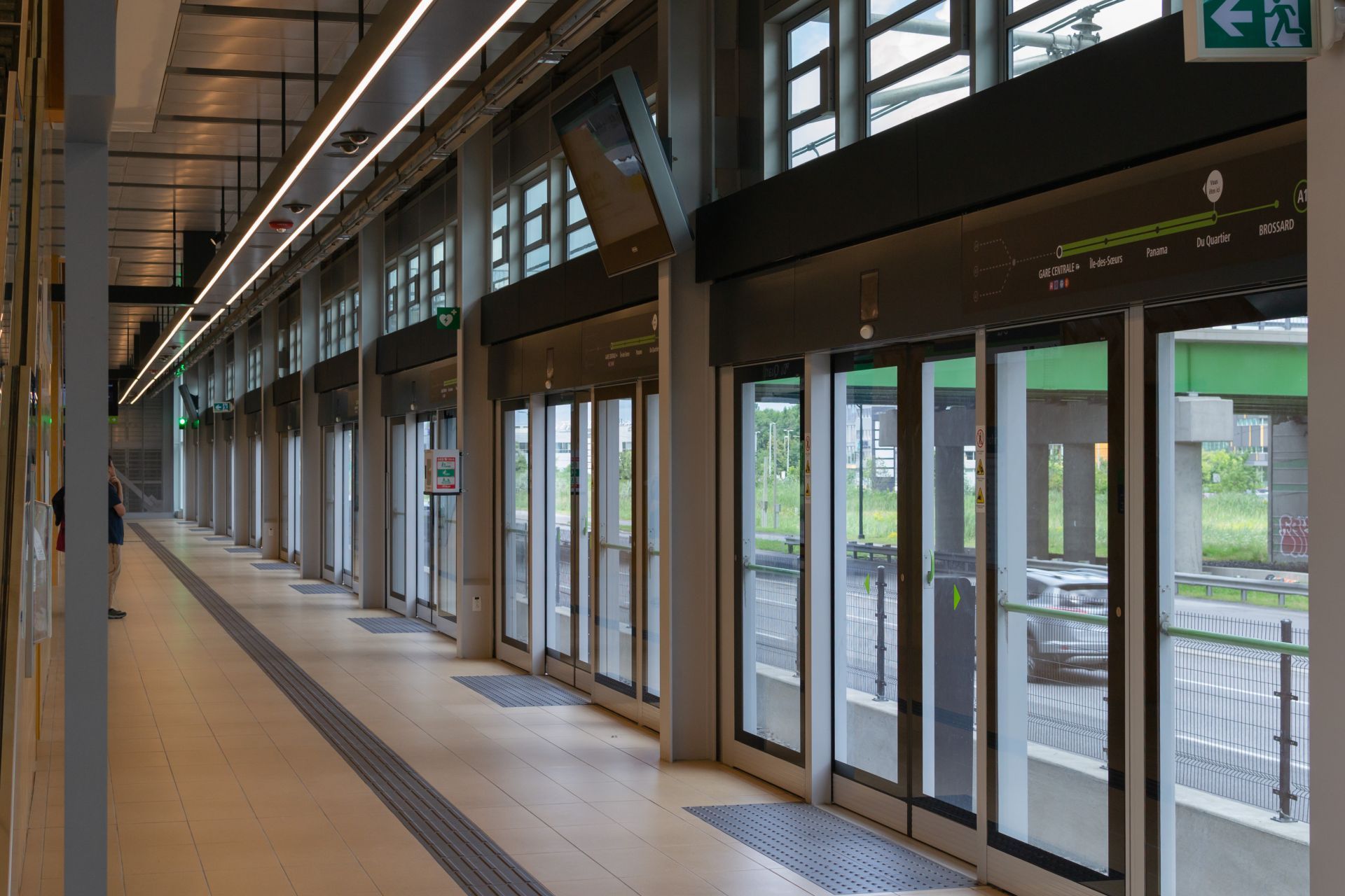
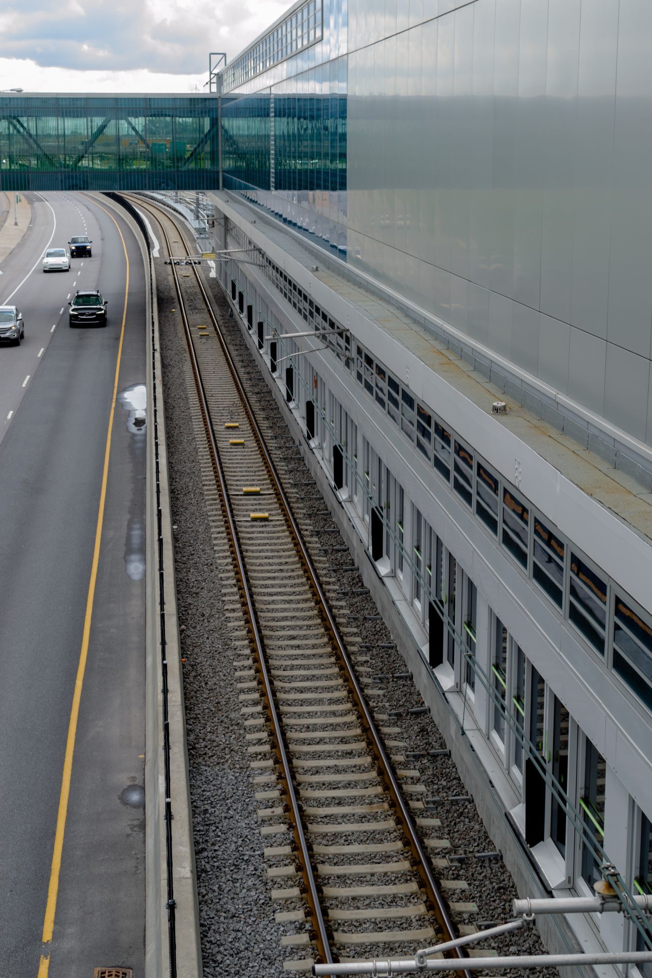
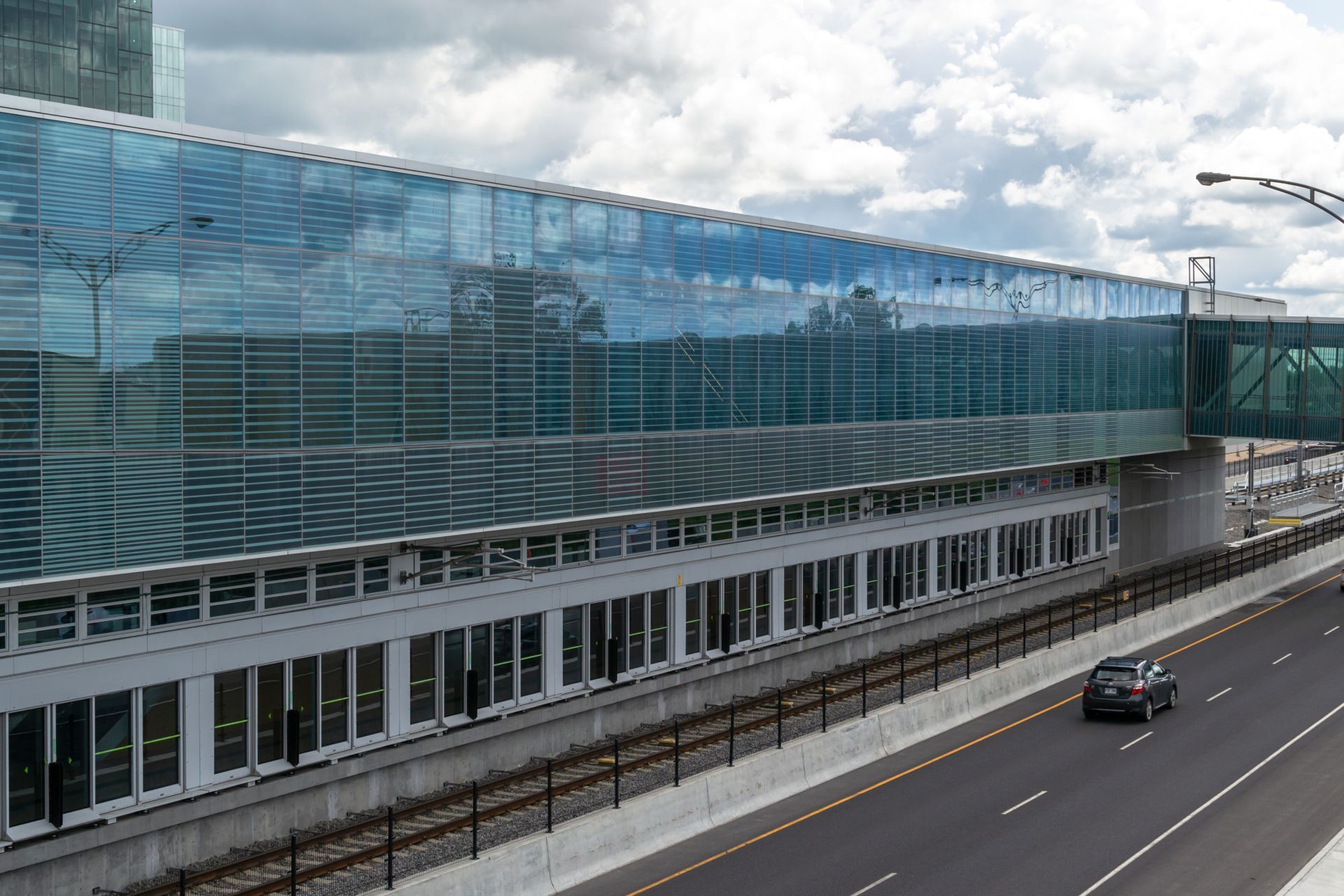
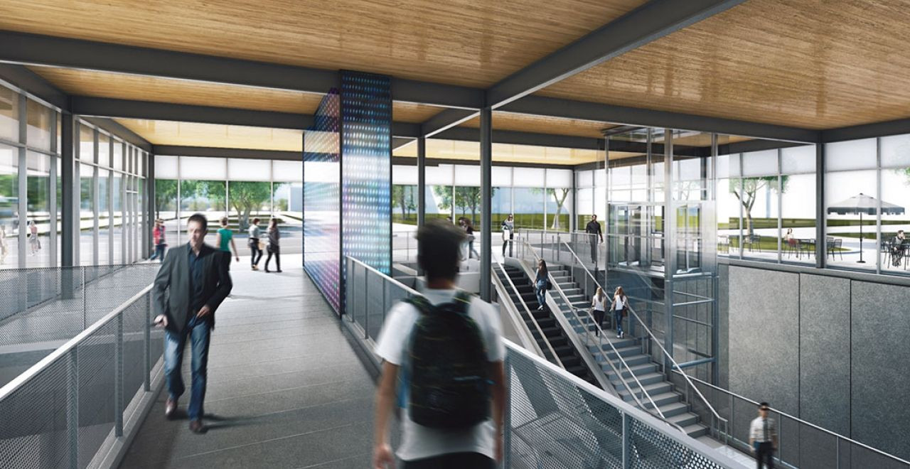
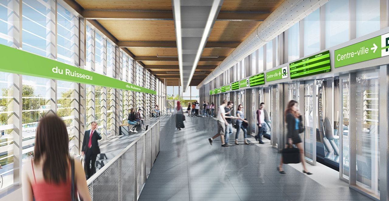
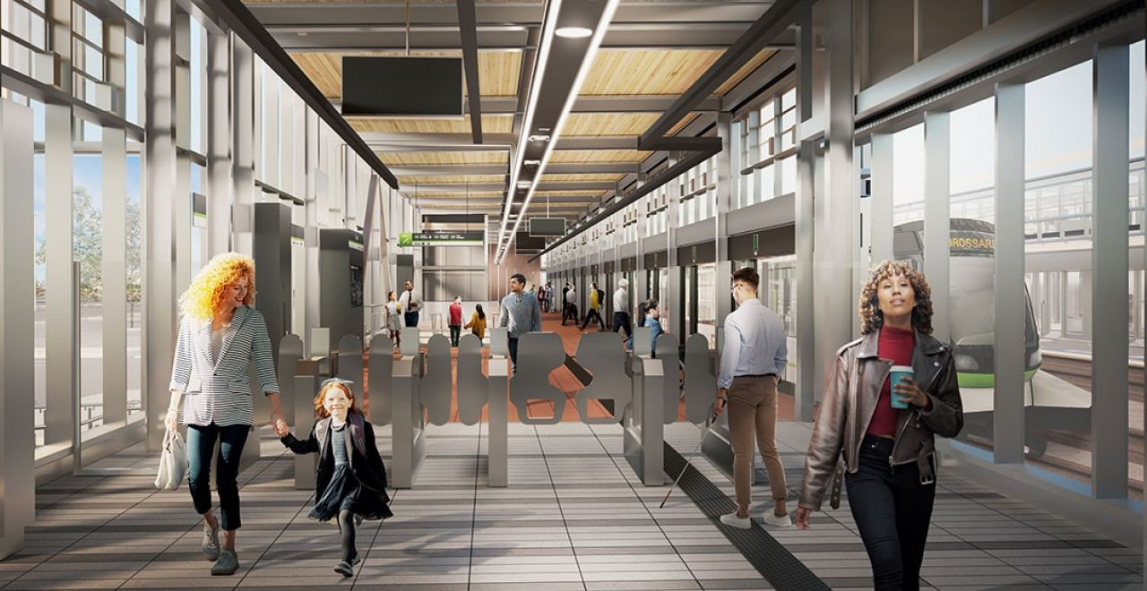
- Brossard is the only station with three platforms: this allows for easier turn-around operations for trains once higher frequencies are implemented on the line. Platform can vary throughout the day and also depend on whether or not the train is returning to the yard after dropping off passengers.
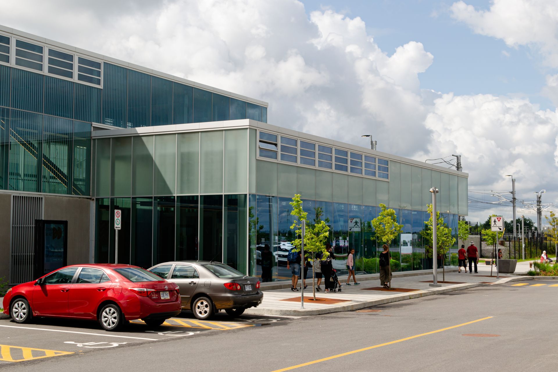
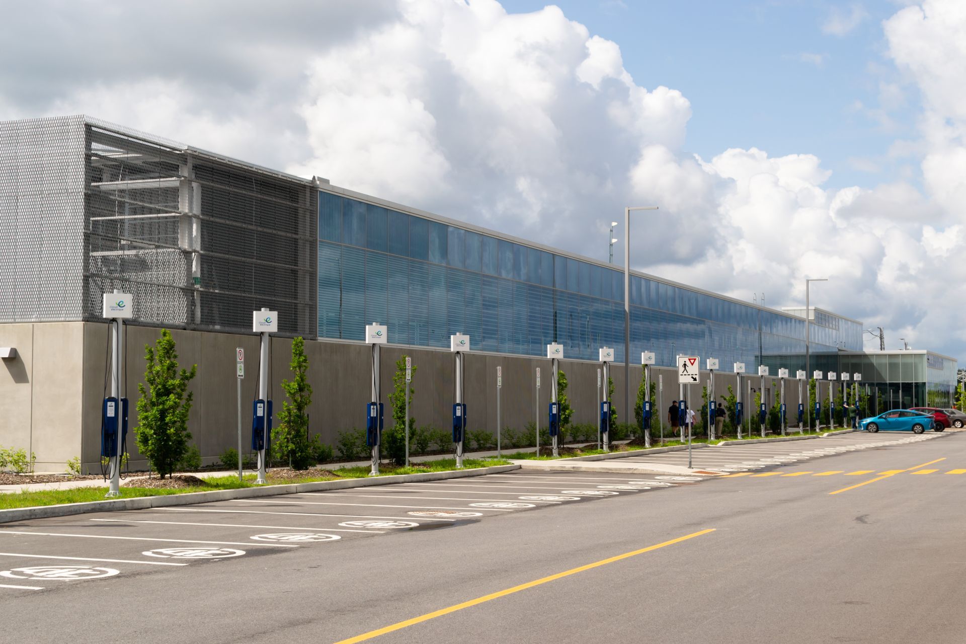
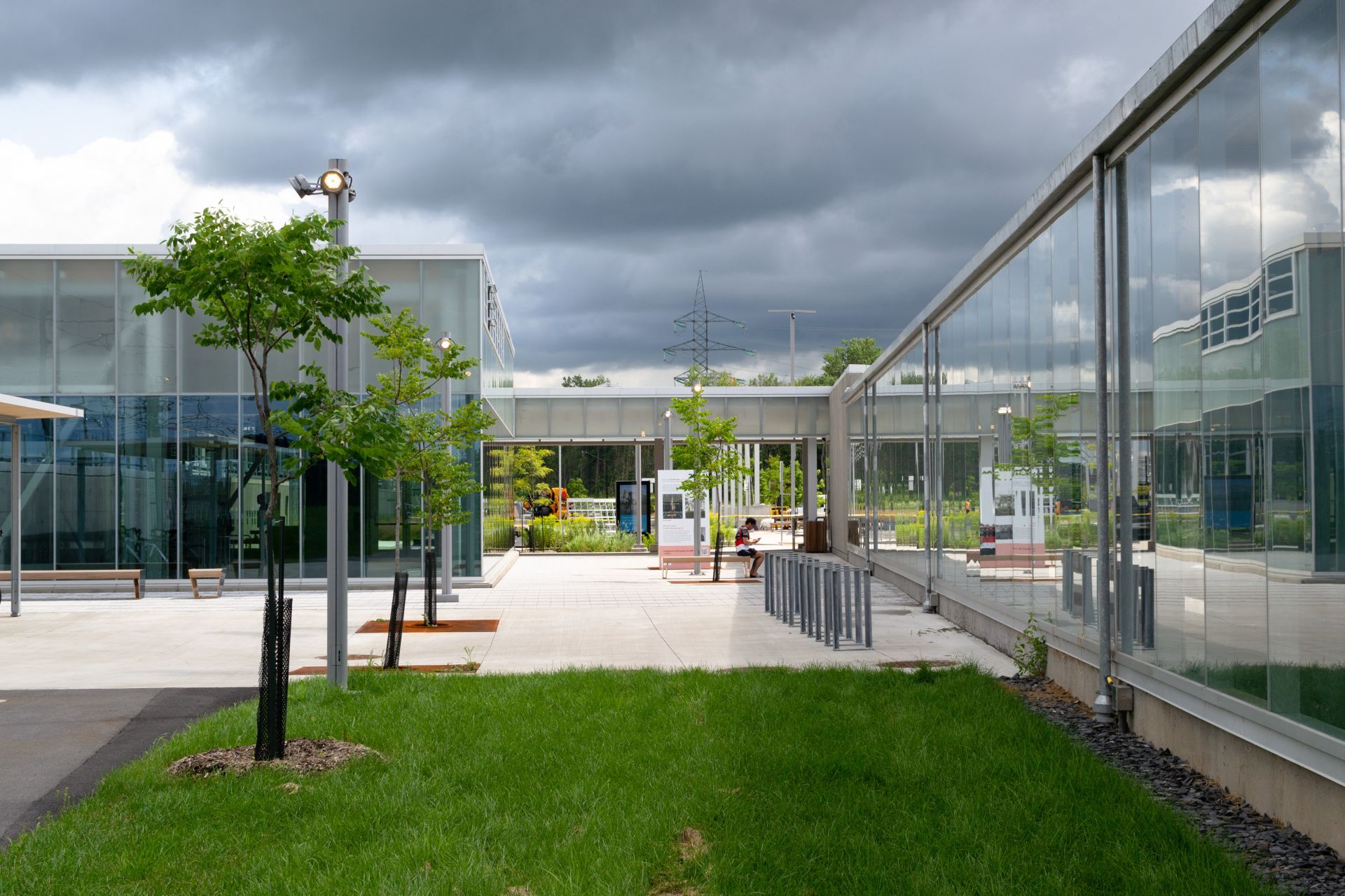
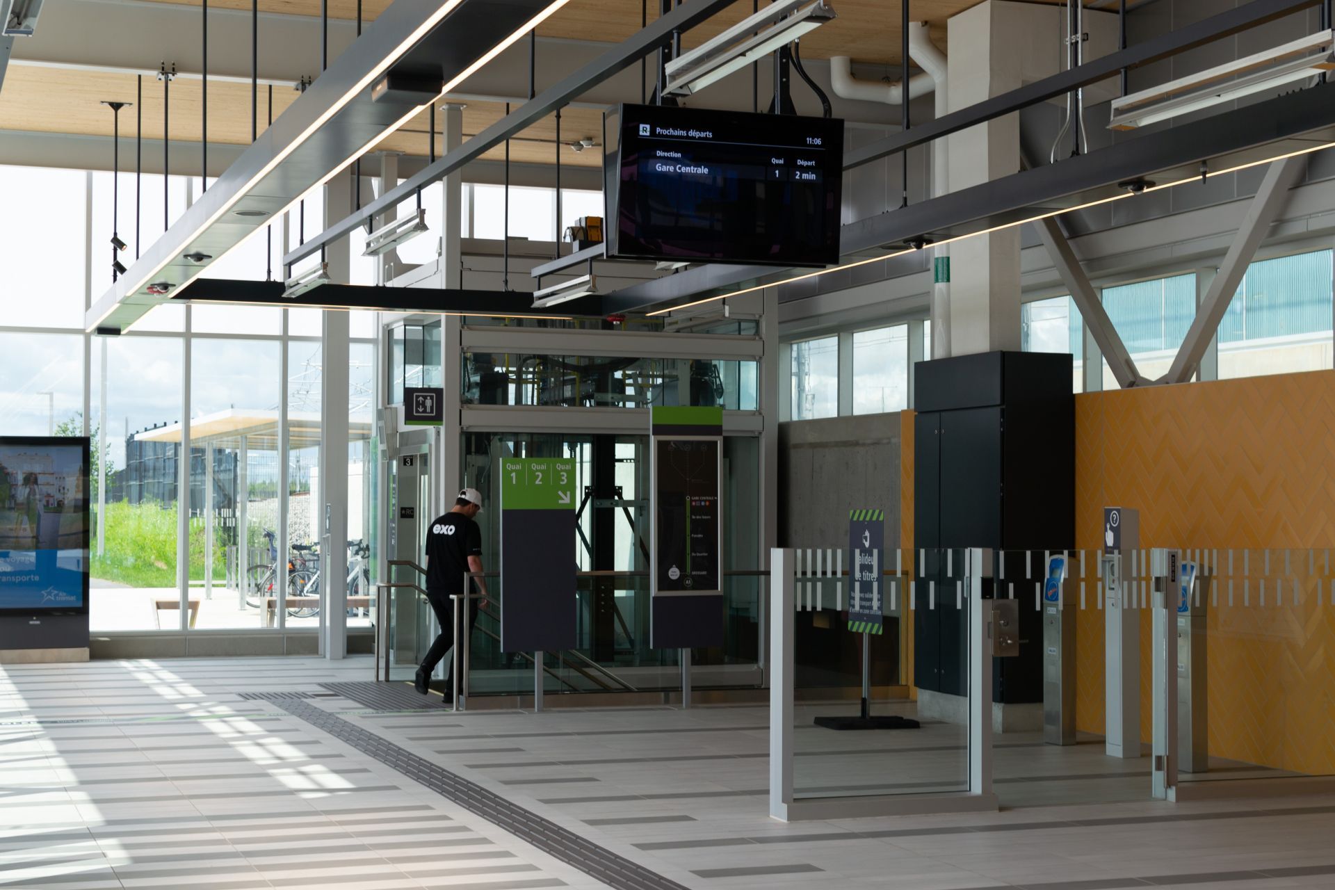
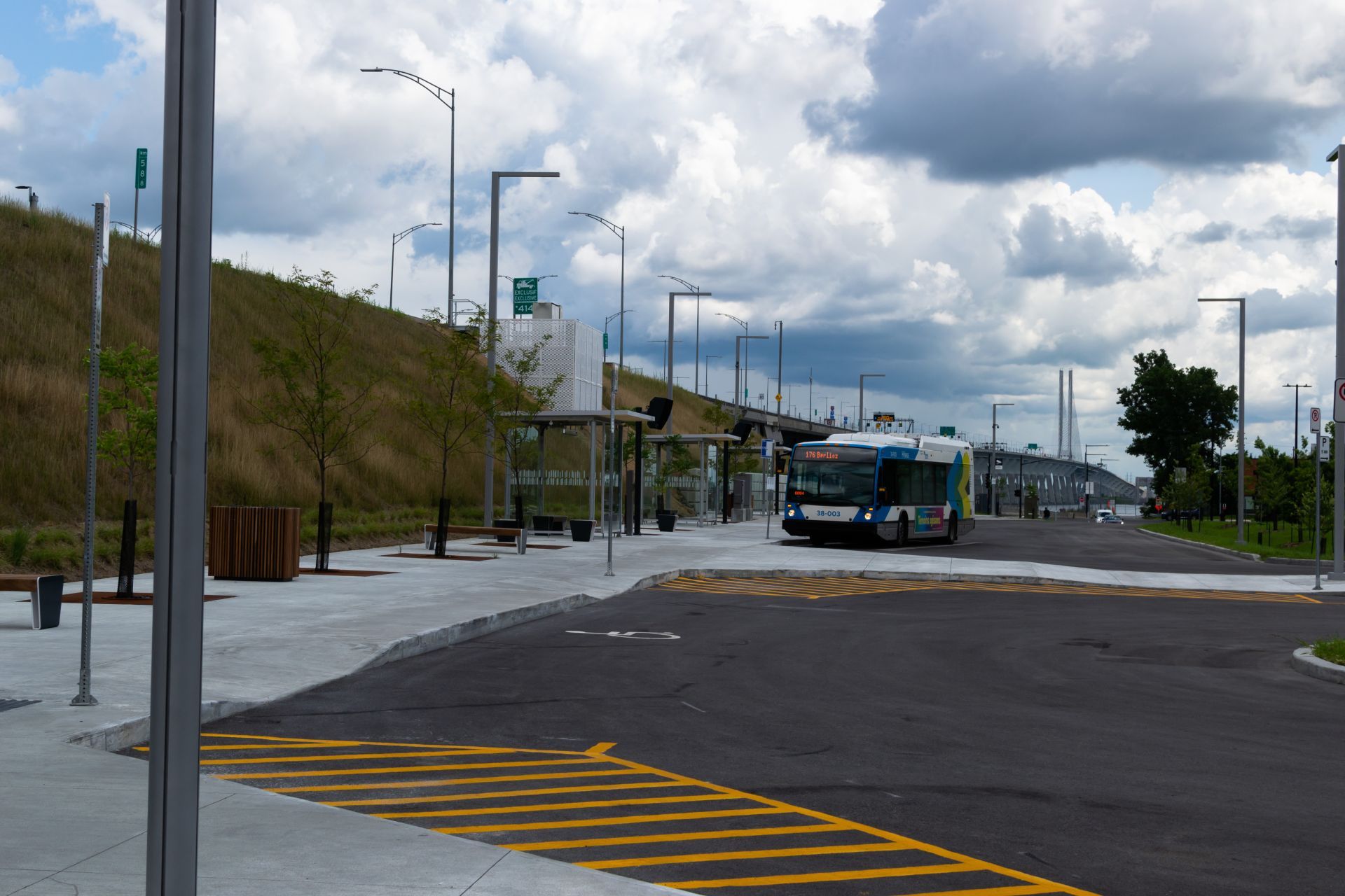
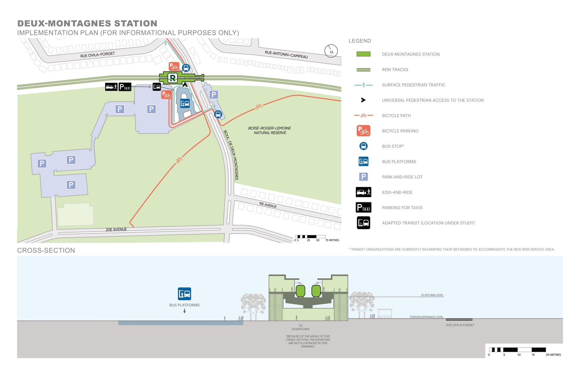
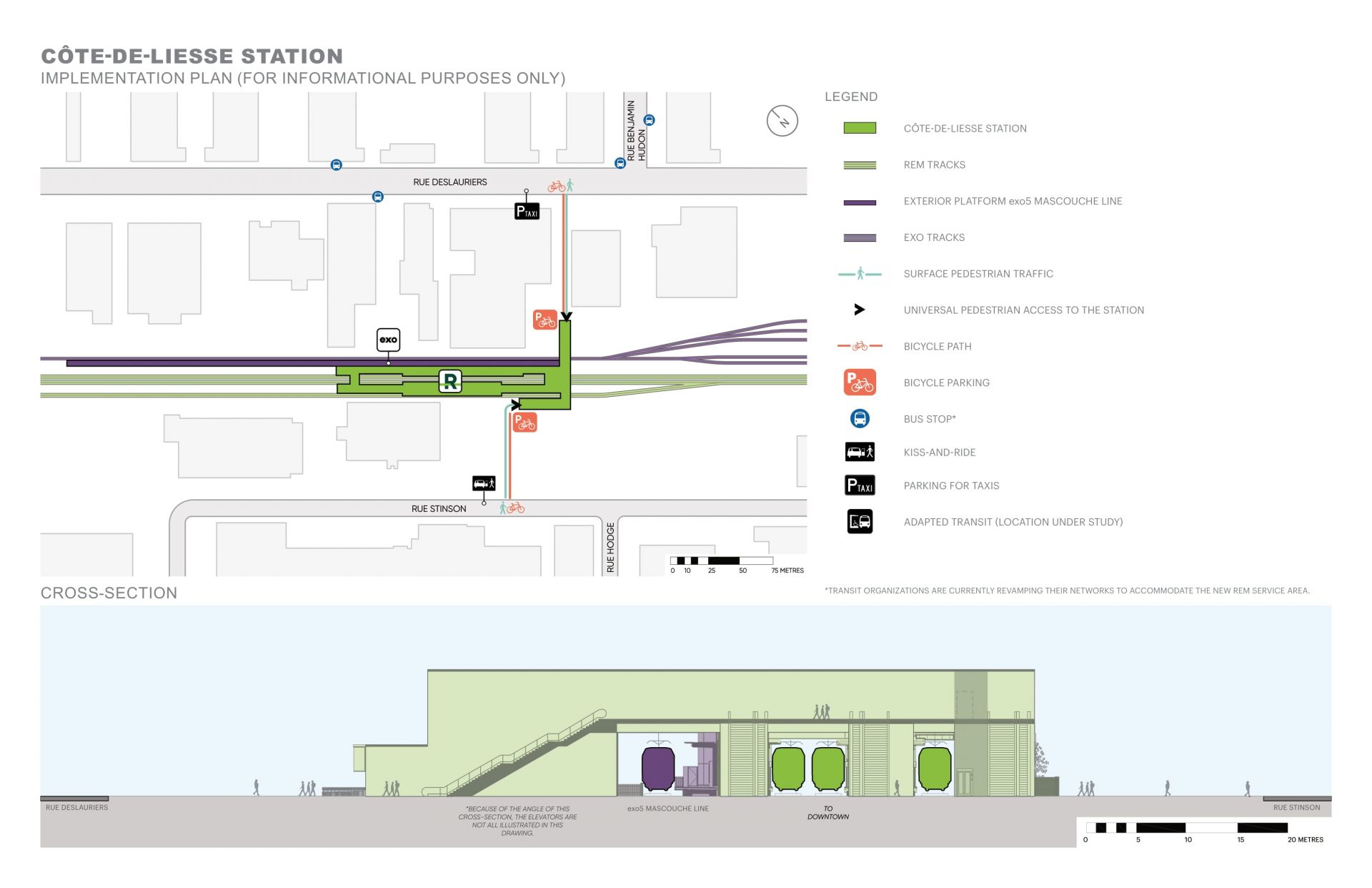
- To incentivize transit usage into downtown Montreal, 2,948 parking spaces are available at the station. 2,099 spaces are free and an additional 849 are paid eihter daily or by obtaining a monthly permit from Indigo. 60 charging stations are located along the north side of the station in the free parking area. There is also a drop-off area located between the bus loop and station.
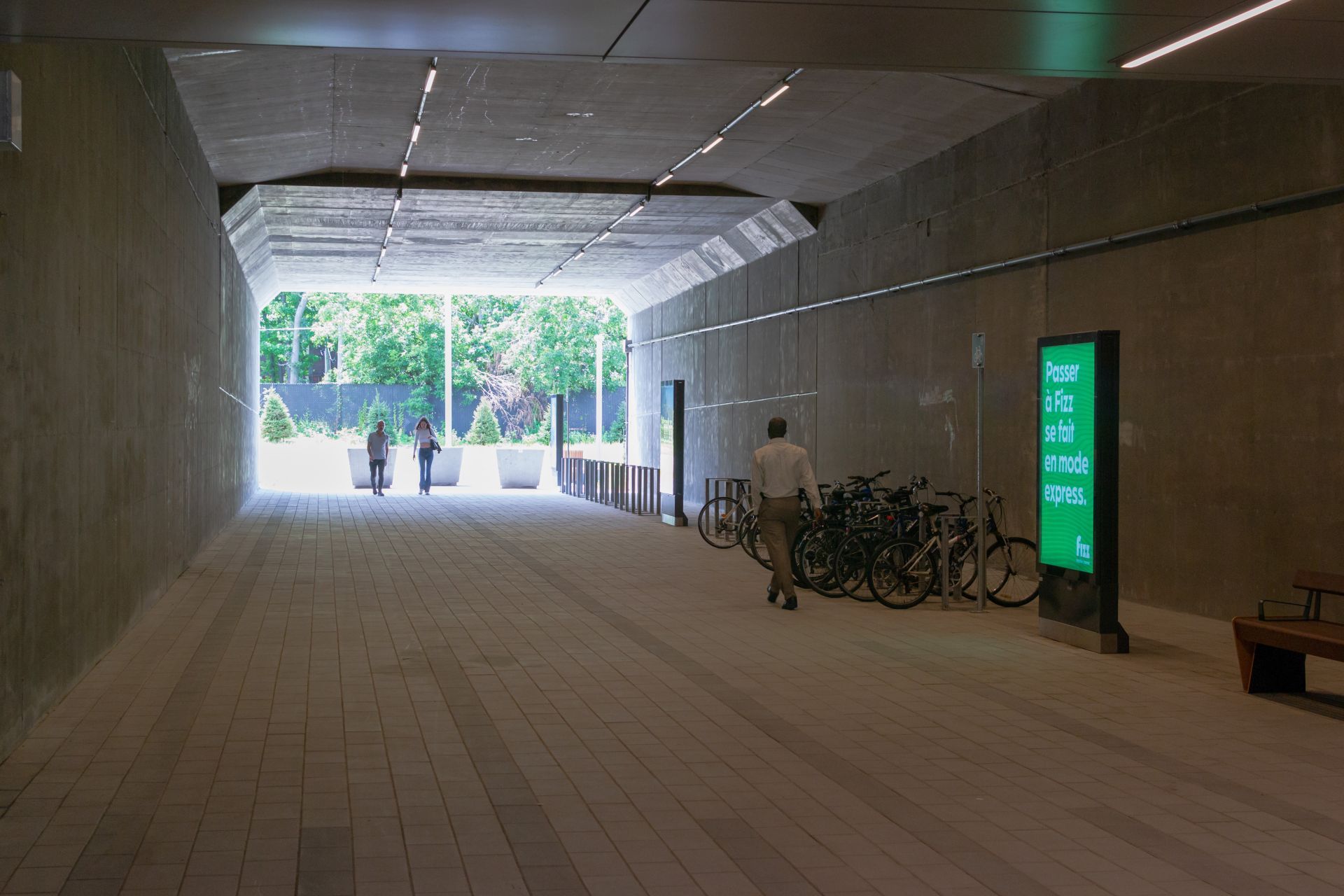
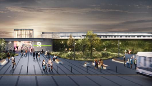
- The bus loop has 21 quays to service routes from EXO and the RTL. It is also built to support the growth of climbing vegetation around its perimeter.
PUBLIC ARTWORK
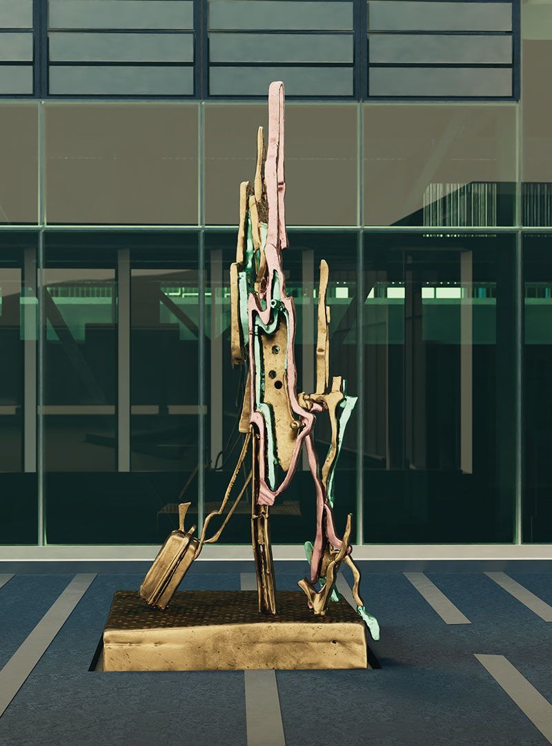
les passagers is two sculptures (diptych) by David Armstrong VI that will be installed at the entrances of the station and the bus loop. Each station will be more than 4m tall and made of cast bronze.
From the REM website:
For the Brossard station, David Armstrong VI has created a set of two sculptures (diptych) named les passagers. The artist is intrigued by the very essence of travelling by train.This diptych combines aggregates of cast bronze, undulating ribbons and alternating vibrant colours, pulling our gaze between reality and an interpretation of the interlaced forms. In the artist's vision, these two plant-like and animal-like figures, but also clearly human with their suitcase or backpack, belong both to the past and the future. David Armstrong VI has sculpted the undulating forms as if they were alive. It could be believed that the forms are like two fearless travellers from another time, swept along by a force in perpetual movement.
STATION FACTS AND MAP
- Opening Date: July 31, 2023
- Tracks: 3
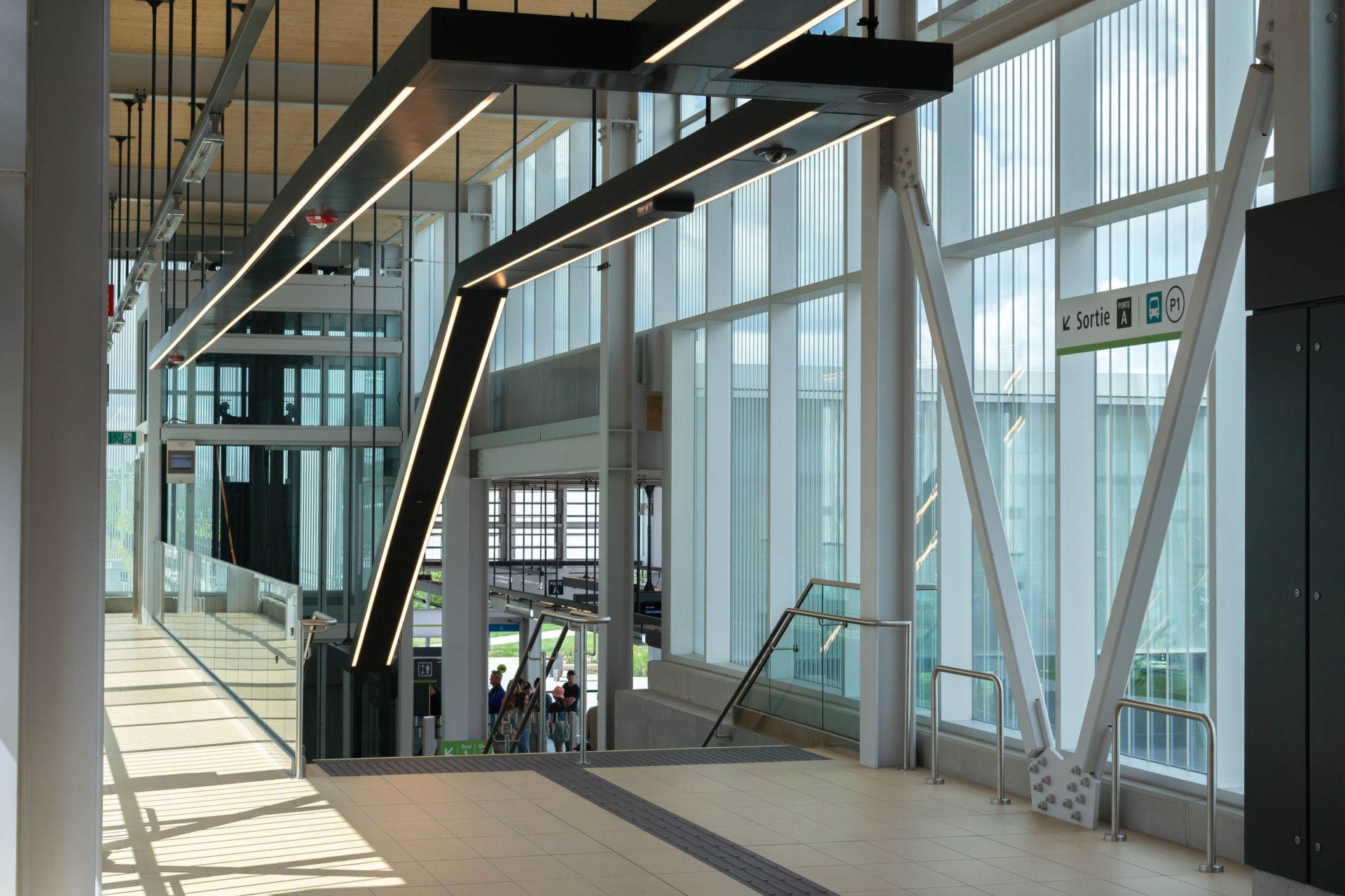
- Platform Height: 7.5m from the roadway
- Platforms: Side (Platform 2) and Island (Platform 1 and 3)
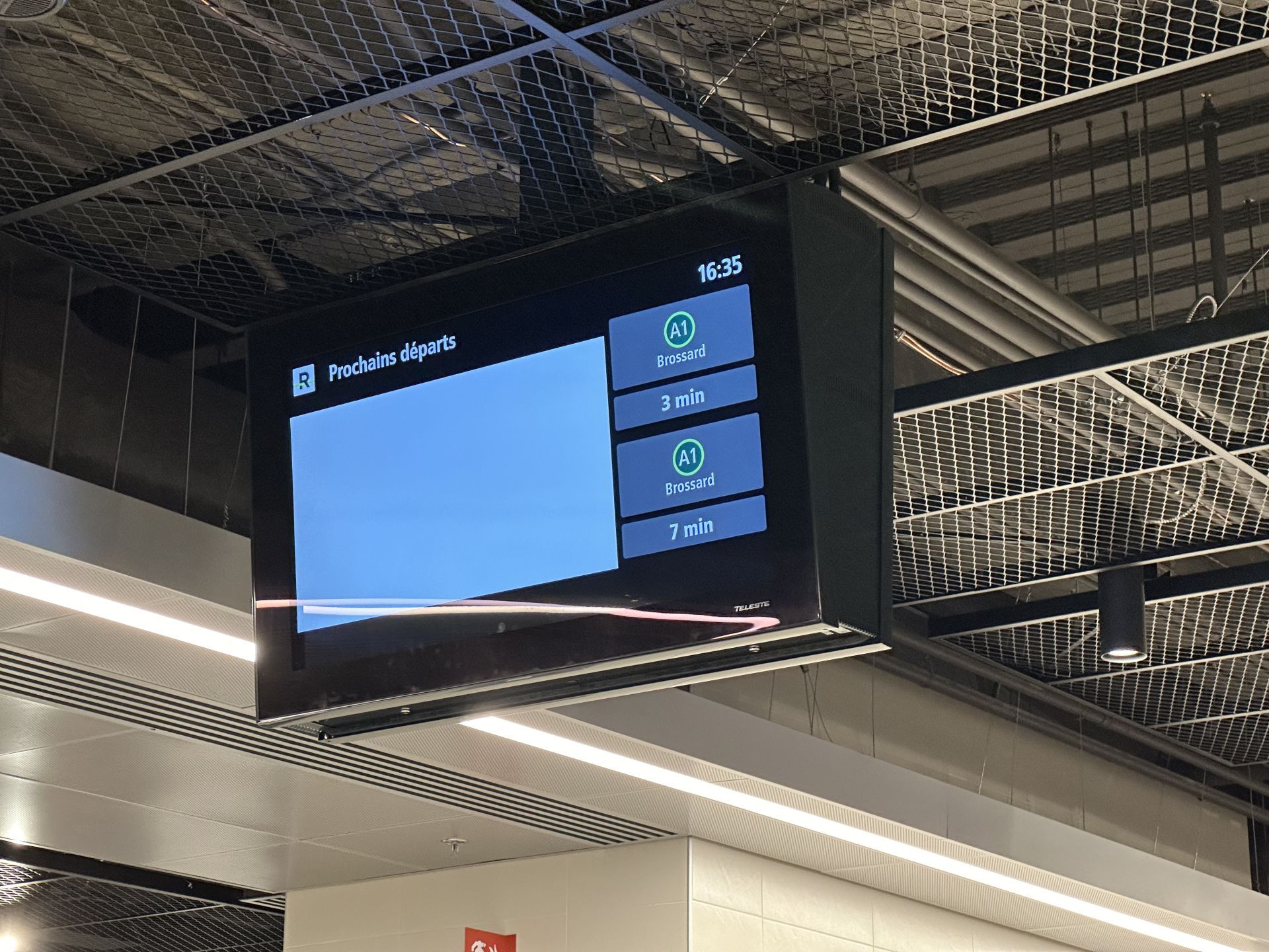
- Line: Main Segment | Brossard-Gare Centrale (A1)
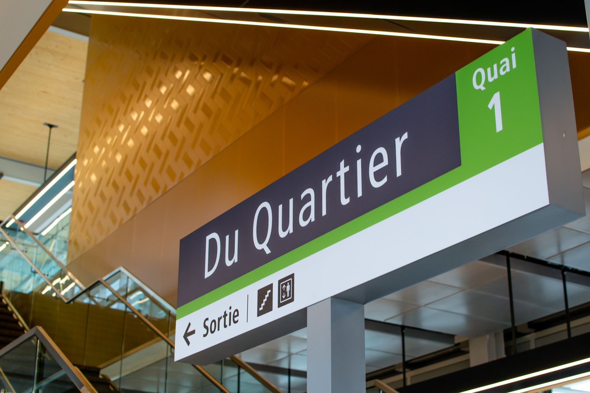
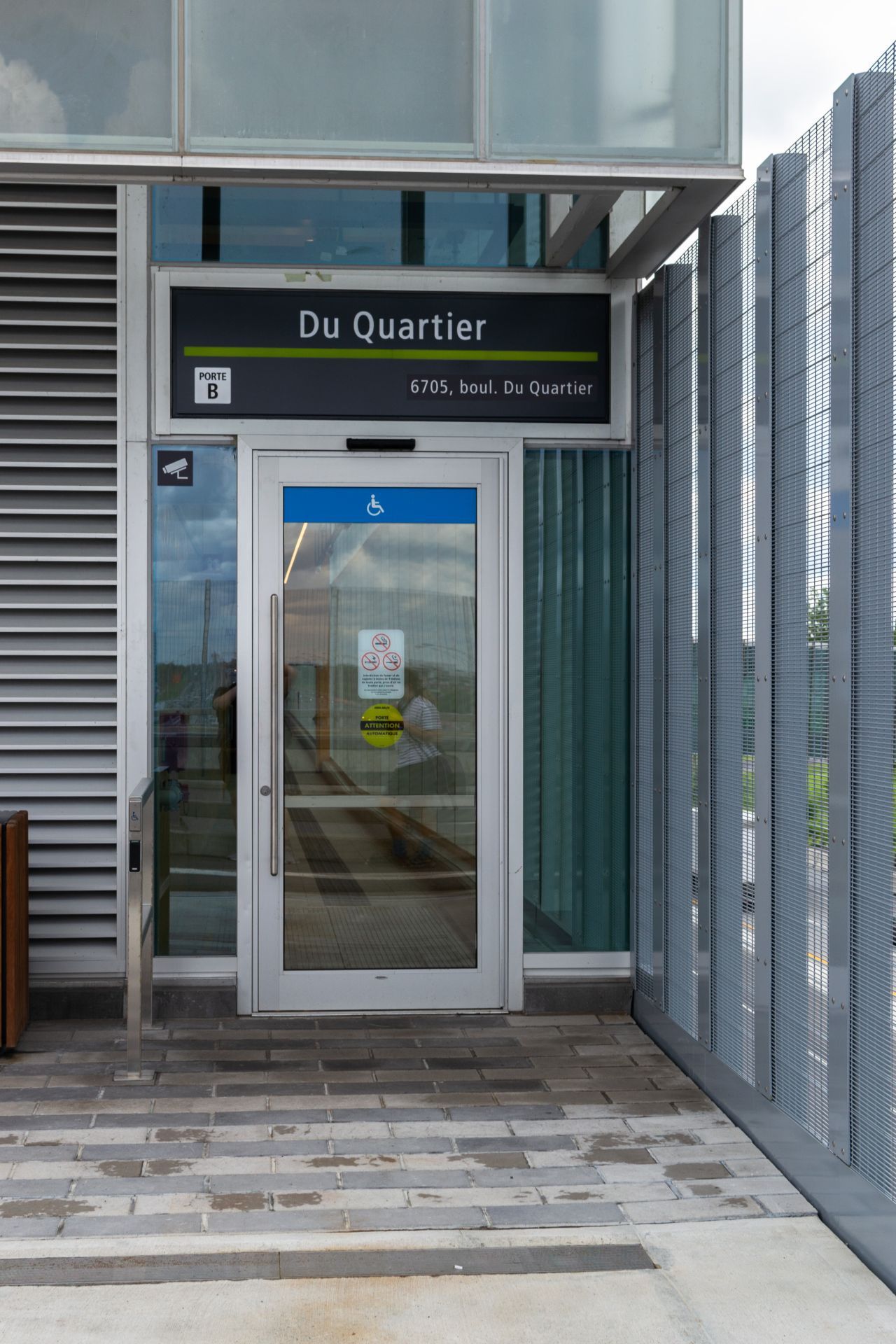
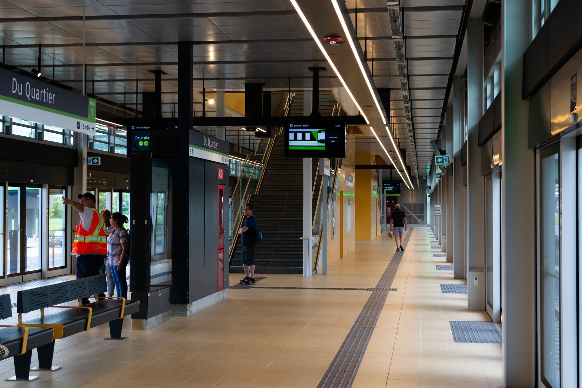
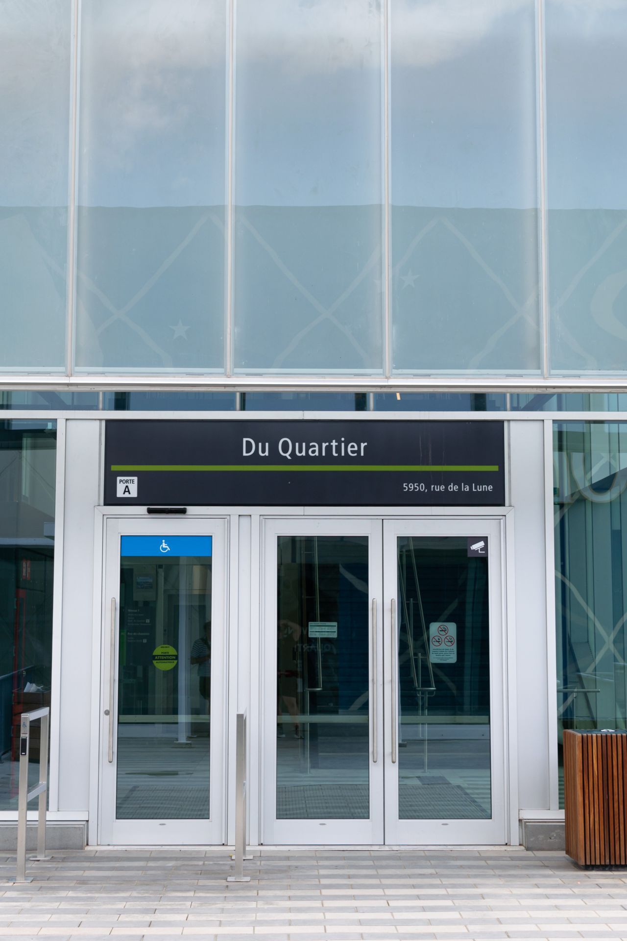
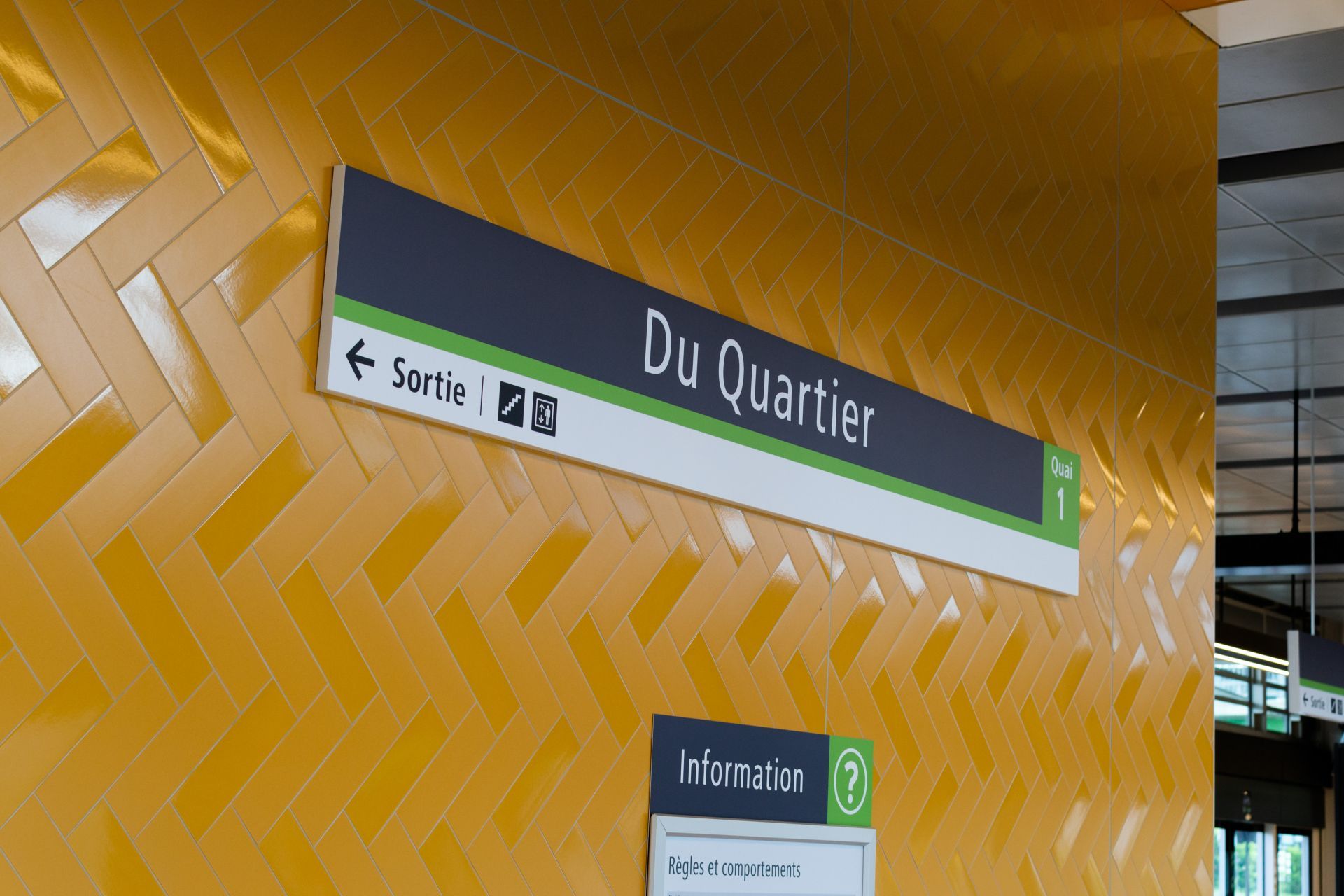
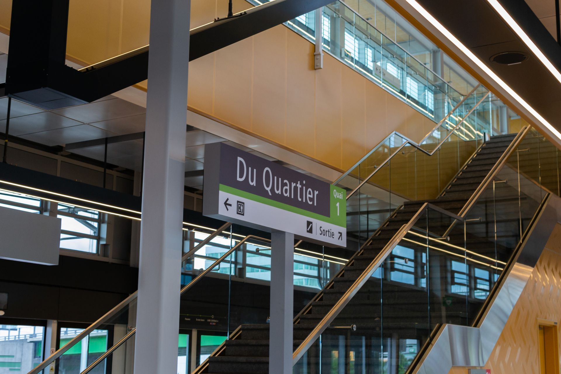
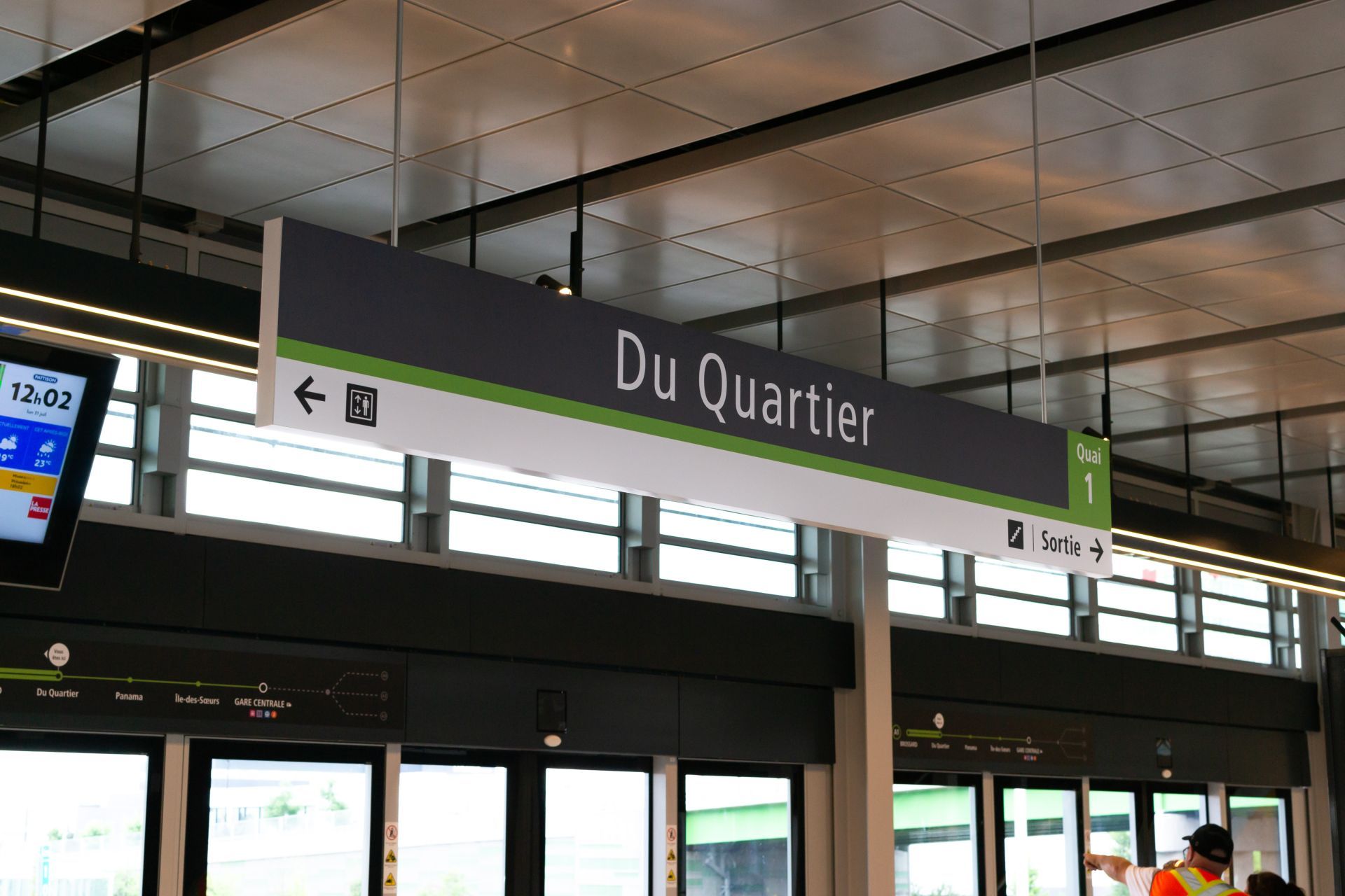
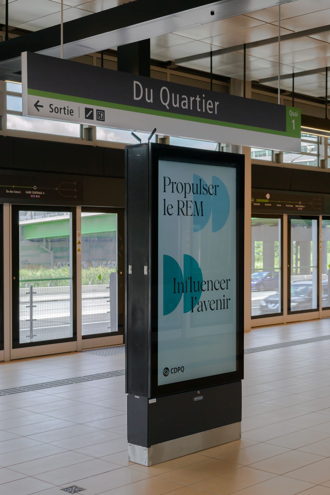
- Following Station: Du Quartie
- Fare Zone: B